


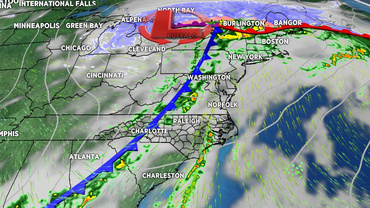
A cold front moving eastward through the western North Carolina Wednesday morning will continue to bring a line of showers with some embedded thunderstorms through the region early in the day before cooler and drier air moves in behind it.
The foothills and mountains woke up to a morning of active weather Wednesday as a cold front began to budge into the Blue Ridge. The line of showers and some thunderstorm activity ahead of this front will continue to weaken as it moves eastward, though a few cells within this line will be capable of producing strong wind gusts through daybreak Wednesday. The front should clear to the east of the area by noon, leaving us with cooler and drier air in its wake.
High pressure moving in from the west will cause winds to pick up through the day out of the northwest, particularly in the mountains, where Wind Advisories will be in effect for Ashe,Watauga, Avery, Caldwell, and Burke counties until Thursday morning for the potential to see gusts nearing 50 mph. Skies will clear out quickly late Wednesday afternoon into Wednesday night behind this front, leading to a cold and clear night ahead. Lows will likely near the freezing mark for many across the Piedmont and dip into the 20s in the mountains.
Thursday into the end of the work week will feature dry but cooler conditions, with highs in the low to mid 60s. Our next system arrives for the weekend along with a cooler air mass that could bring the return of some snow showers in the mountains.
Get the latest news, sports and weather delivered straight to your inbox. Click here to sign up for email and text alerts.