


Expect another day of dry and warm conditions Friday before a system approaching from the west late Friday night brings a chance for showers back to the region for St. Patrick's Day.
Friday will feature another day of unseasonably warm conditions and mostly sunny skies. Temperatures should warm into the upper 60s and low 70s across the Piedmont with low to mid 50s in the mountains.
High level clouds will slowly creep in from the west by this afternoon, with skies becoming partly cloudy for Friday night.
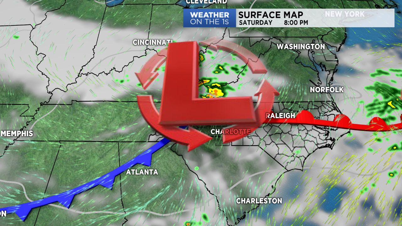
A low pressure system pushing into the southern Appalachians early Saturday morning will bring showers across the Blue Ridge for the start of Saturday, where the best chances for rain will be confined.
As moisture continues to try and work eastward into the lower elevations, a lot of the moisture will likely break apart, with showers becoming more isolated and few and far between by the time they hit the Piedmont.
Because of this, St. Patrick's Day won't be anywhere near a "wash out" of a day. Other than the chance for a brief spot shower here and there, mainly through the first part of the day, outdoor holiday plans should be okay with highs warming into the 60s under mostly cloudy skies.