

Thunderstorms will move in from the northwest very late Sunday night, posing a threat for damaging winds and large hail. These storms will gradually weaken into early Monday morning as they shift southeast across Central Texas. Some flooding will be possible, so use caution when traveling.
As the front that is the trigger for these storms becomes stationary into Monday afternoon, additional thunderstorms will develop, some of which could be severe with the same hazards of strong winds and hail. An isolated tornado can't be ruled out.
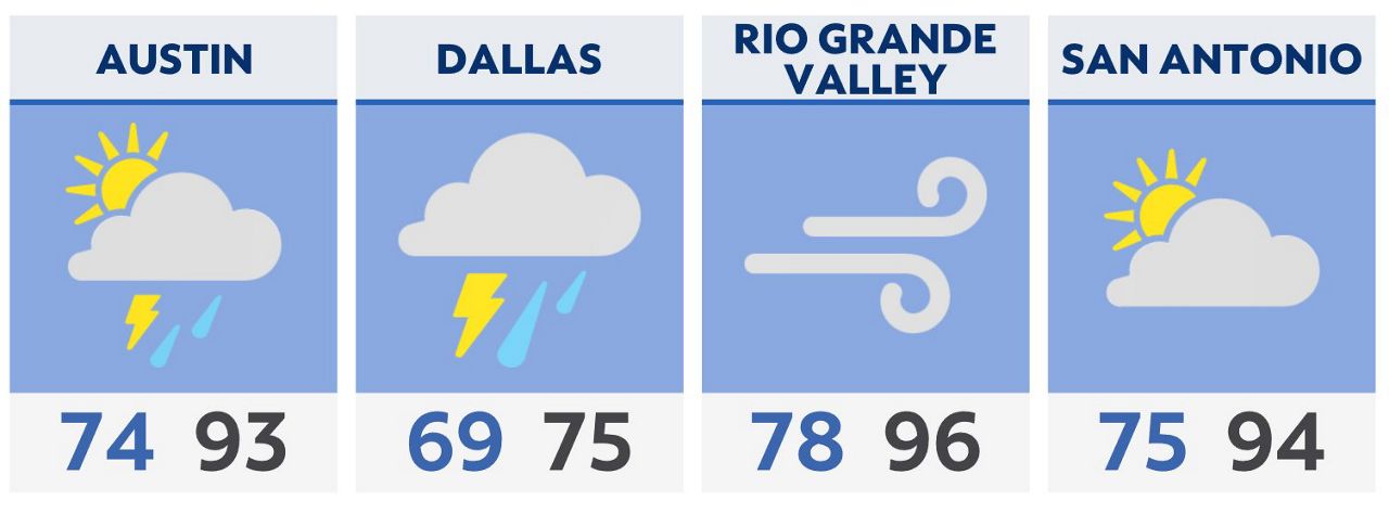
Other than the stormy conditions, it will still be hot and humid with a mix of sun and clouds.
The “feels like” temperatures will still be near 100 in the afternoon, so please protect yourself and your family while out and about this weekend: Take frequent breaks, hydrate and wear sunscreen.
This week temperatures fall to the 80s for much of the state in response to daily rain chances through at least Thursday.
Click here for the latest 7 Day Forecast | Click here to share your weather photos