ST. PETERSBURG, Fla. — After a wetter than normal winter last year, things look to change for this year.
A weak La Niña may develop as we head into this winter. Right now there is a 75 percent chance of La Niña developing this winter, with a 25 percent chance of neutral conditions continuing.
La Niña refers to cooler than average equatorial Pacific water temperatures.
This can actually impact the weather we see in North America.
During a typical La Niña pattern, the jet stream mainly stays in the northern tier of the country.

The jet stream is a narrow band of fast, high-level winds that serves as the main track for storm systems.
The jet stream also divides the cold Canadian air to the north from the warm subtropical air to the south.

So with a jet stream far to the north, Florida typically sees above normal temperatures during a La Niña winter.
However, since La Niña conditions are expected to be weak, if it develops, other factors could play a role in how this winter pans out.
Rainfall Outlook
Due to a potential La Niña this winter, the long range seasonal models are mostly in agreement with below normal rainfall.
Even if this La Niña is weak, the storm track will likely stay north of us, even in the event of brief southward migrations.
So the confidence in below normal rainfall this winter in Tampa is moderate to high.
Keep in mind, the winter is our dry season, so even in a typical winter, we do not see much rainfall.
Temperature Outlook
The temperature forecast for this winter may be a little tougher to pin down.
In a typical La Niña, we see above average temperatures across the state of Florida, with the jet stream well to the north.
However, the NAO or North Atlantic Oscillation may play a small role in what we could see this winter.
The NAO refers to the strength of the pressure patterns in the North Atlantic.
When the NAO is positive, there is a strong pressure gradient between the central and North Atlantic.
Generally, this leads to a strong west to east wind pattern and a "flat and fast" jet stream.
This typically means storm systems stay weaker and move due west to east across the country (usually in the northern tier).
When the NAO is negative, the opposite is true.
The pressure gradient is weaker in the North Atlantic with this and it leads to weaker westerly winds.
This allows the Jet Stream to undulate more and dip farther south and north over North America.
It's during this pattern when the northeastern United States can see strong Nor'easters.
Storm systems move slower in this pattern, can grow in strength, and tend to dip down farther south before moving northeast.
The NAO usually changes throughout the winter, so don't expect this to result in season long impacts.
However, a negative NAO could disrupt the La Niña pattern from time to time this winter and allow the jet stream to migrate south.
While this may not provide us with the bulk of the rain from these storm systems, a dipped jet stream can bring down some cold fronts into our neck of the woods.
Bottom Line
To put all this into layman's terms, expect many days this winter to be near or above average in the Tampa area.
Keep in mind our average high never gets below 70 degrees in Tampa.
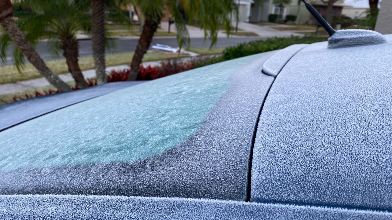
However, I do expect some brief cold spells to occur this winter as any La Niña that develops will be weak and it will not be impervious to other factors.
It is because of the weak signals from La Niña that forecast confidence in the season's outlook is a bit lower than average when it comes to the overall temperature forecast for this winter.
I expect this winter to turn out to be drier and warmer than normal overall, but do expect some brief periods of cooler and wetter weather.
Our team of meteorologists dives deep into the science of weather and breaks down timely weather data and information. To view more weather and climate stories, check out our weather blogs section.


