
It's hail. No, it's sleet. No, it's graupel?
That's right: you might not know it but a true mix of winter precipitation types were reported all over Central Texas on Friday, and there as some visual clues that can help you identify what you see out there.
Graupel and sleet are both about the size of a BB bullet or green pea, yet they look different visually and that all depends on how chilly the air is insde the cloud from which they fall.
Think of sleet as ice pellets. They're typically transparent pieces of ice like you would put in a drink.
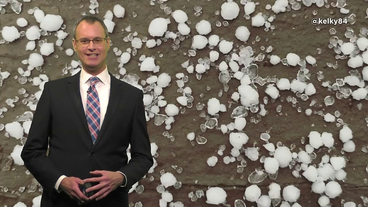
In the above video, Chief Meteorologist Burton Fitzsimmons shows us an example.
Sleet starts out as snow. It falls through a layer of air aloft with a temperature generally at or above 38 degrees, according to NOAA, which allows it to all melt. The drops then travel through a subfreezing layer in which they totally refreeze into the little balls we see falling to the ground. The cloud temperature, NOAA says, is usually colder than 15 degrees.
Graupel, on the other hand, is more of a snow pellet and it usually looks opaque.
Graupel also starts out as snow. In this case, however, the snow falls through supercooled water droplets within the cloud, upon which layer after layer of ice can freeze. In order for graupel to form, the cloud temperatures must be mostly below freezing with some portions colder than 15 degrees.
So, what makes sleet and graupel different than hail? Hail comes from only one type of cloud, the cumulonimbus, which we also know as the thunderstorm.
Hail forms as drops of ice freeze inside the fast-moving updrafts and downdrafts within a thunderstorm. The stronger the storm, the bigger the hail. Hail stones can range from pea size to larger than a grapefruit.