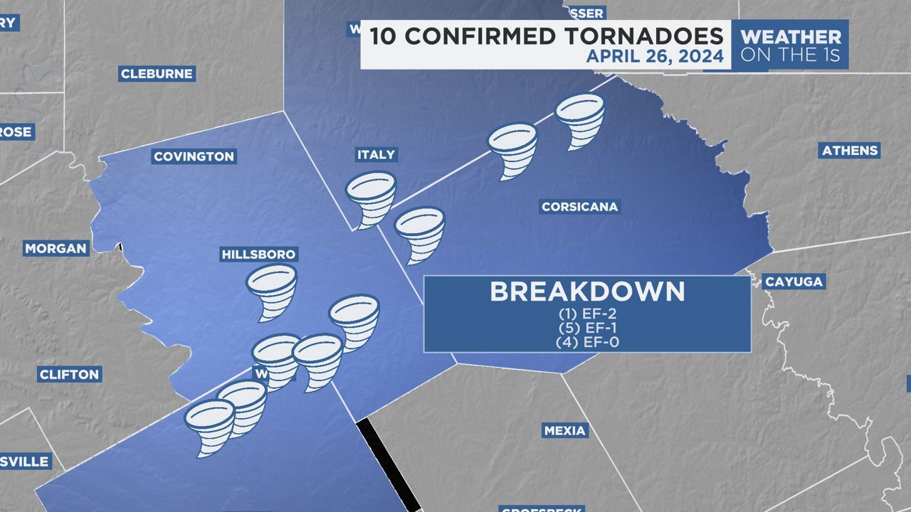
FORT WORTH, Texas — The National Weather Service out of Fort Worth has confirmed that 10 tornadoes touched down early Friday afternoon north of Waco.
All 10 of the tornadoes were scattered across Hill, McLennan and Navarro counties and ranged from EF0 to EF2 ratings, according to preliminary reports from the NWS.
No one was injured or killed in any of the tornadoes.
The strongest of the bunch was an EF2, which hit an estimated peak wind speed of 115 mph. It started in McLennan County near West, Texas, and traveled over five miles into Hill County near Penelope. The max width of the tornado was 165 yards.
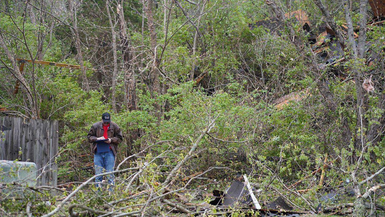
The preliminary report by the NWS said there was damage to trees and a barn and shop.
Five of the tornadoes were given EF1 ratings—one west of Waco, one southwest of Penelope, two in Navarro County and one near Abbott.
The EF1 tornado southwest of Penelope only lasted a minute, but it reached an estimated peak wind speed of 105 mph. It hit a residence and then dissipated.
Two houses were reported damaged, with one having metal panels peeled off the roof and the other shifting off its cinder blocks by about 8 inches.
“Winds got in the garage of the uninhabited second house and lifted the roof off, then it collapsed back on the house and the walls buckled,” the NWS summary said.
The two EF1 tornadoes in Navarro County both hit peak winds of 110 mph and lasted longer than any of the others.
One of them formed northwest of Navarro Mills Lake and traveled over 9 miles east and northeast before dissipating near Dresden.
Most of the damage was consistent with an EF0 or low EF1 rating, but one home was destroyed on a county road. Other damage was reported to roofs and sheet metal and trees.
The other Navarro County EF1 tornado started southwest of Barry and then traveled over 11 miles before stopping northeast of Emhouse.
Much like the other EF1 tornado the county saw, the damage was mostly confined to roofs and outbuildings, but one home was completely destroyed.
The final reported EF1 tornado hit west of Abbott in Hill County.
The peak wind speed of that storm system was 95 mph, and it developed on the west side of Interstate 35W. A tractor-trailer rolled over on the interstate because of the winds.
The tornado also caused minor damage to a few homes and trees.
The one west of Waco was estimated to reach peak winds at 95 mph, and it only touched down for less than a mile. It was the second tornado to come from the same supercell in the Waco area—the other tornado was given an EF0 rating, with peak winds at 80 mph.
The storm system caused damage to roofs, downed fences, broke windows and damaged trees.
Of the other three EF0 tornadoes, two occurred in Navarro County and one touched down in McLennan County.
The one in McLennan County formed just northwest of Tours and hit an estimated wind speed of 75 mph.
It was a fairly weak tornado, and it only lasted for a moment before dissipating after traveling less than a mile.
One of the EF0 tornadoes in Navarro County occurred west of Rice and hit a maximum wind speed of 75 mph and lasted for over two miles.
The NWS report says that a resident captured a video of the tornado as it caused minor damage to trees before it broke down near Interstate 45.
The final reported EF0 tornado occurred near Frost and lasted about a minute.
The tornado hit an estimated peak wind speed of 80 mph and caused a grain elevator to partially collapse along State Highway 22. It also caused roof and garage door damage to several homes in the area.


