


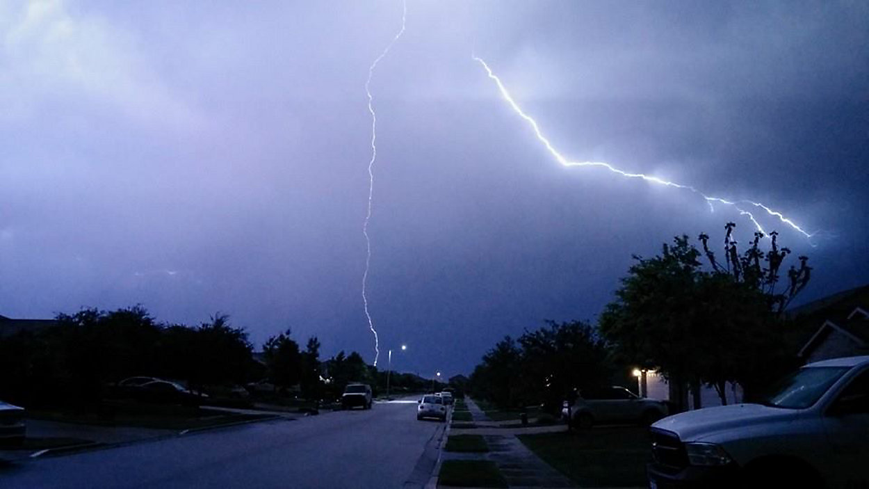
TEXAS -- April ended with a big outbreak in tornado alley, where as many as 29 twisters reportedly touched down, and the severe weather threat looks to move further south into Texas for the end of the week.
- First round of storms begins Wednesday night
- Scattered showers and storms after dark Thursday
- Several inches of rain, possible damaging winds
As of this writing, computer models show round No. 1 of storms arriving in the Hill Country Wednesday night. Most of the impact looks to be focused on the Austin area with some briefly heavy downpours.
In the above video, Chief Meteorologist Burton Fitzsimmons shows us the models data from Wednesday morning.
On Thursday, we think some some scattered showers and isolated storms could dampen outdoor activities but the heaviest of the event looks to hold off until after dark. A slow-moving cold front is forecasted to drop south of Dallas and gradually ease into the Austin area by Friday night, eventually moving through San Antonio into early Saturday. If it stalls out, we could see several rounds of rain bring heavy accumulations in a short amount of time.
WEATHER ON THE GO: Download the Spectrum News app and watch our live stream no matter where you are!
The latest NOAA outlook calls for 3 inches to 5 inches of potential rain totals from Austin to Fort Hood, with the heaviest rain totals in the north. In the San Antonio area, NOAA calls for approximately 1 inch to 3 inches of possible rain totals by Saturday.
The ingredients for severe weather looks ripe, with sizable hail and damaging storm winds being the biggest threats. Isolated tornadoes are also possible.
As of now, we have low to moderate confidence in this scenario and will simply have to watch the situation unfold.
Be sure to check in with us on live TV or through the online stream on our website or via the Spectrum News app. We bring you updates with our "Weather on the 1s" every 10 minutes.
GET WEATHER ALERTS: Sign up to receive weather text alerts from the Spectrum News Weather Team