
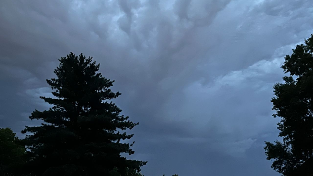
The front pushes south of the region tonight, but will be close enough to keep skies cloudy. Lows will drop into the upper 50s.
A weather disturbance will arrive in our area around daybreak tomorrow. However, it should just be scattered showers.
Throughout the day, the front will lift north back as a warm front, triggering another round of showers and storms. While the severe threat is low (level 1/5) it still exists and a storm could produce gusty winds and hail. A brief tornado can’t be ruled out. The timing is during the afternoon.
Now in the warm sector, temperatures will reach the lower 70s.
Another disturbance will cross the state from the southwest, along I-44 arriving in our region during the evening and overnight hours. This system has the potential to produce another round of storms, some of which could become strong to severe with heavy rain. Temperatures overnight will stay in the lower 60s.
A cold front will approach the St. Louis metro on Thursday, touching off another round of showers and storms during the afternoon and evening. Temperatures on Thursday will be in the lower 70s.
 |
Cloudy with a few showers by daybreak Low: Upper 50s; Winds: Becoming Calm High: Lower 70s; Winds: East at 5 to 10 mph Hour-by-hour forecast | Share your weather photos | Turn on weather notifications | Radar |