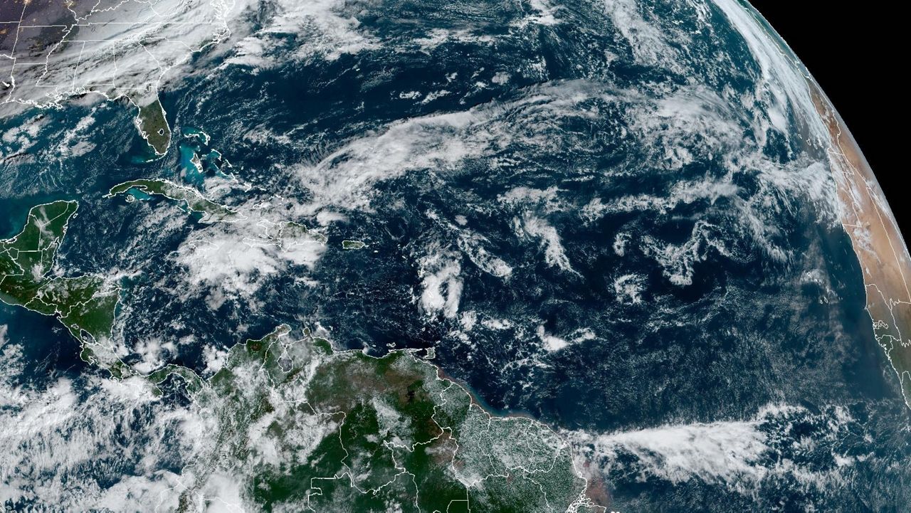
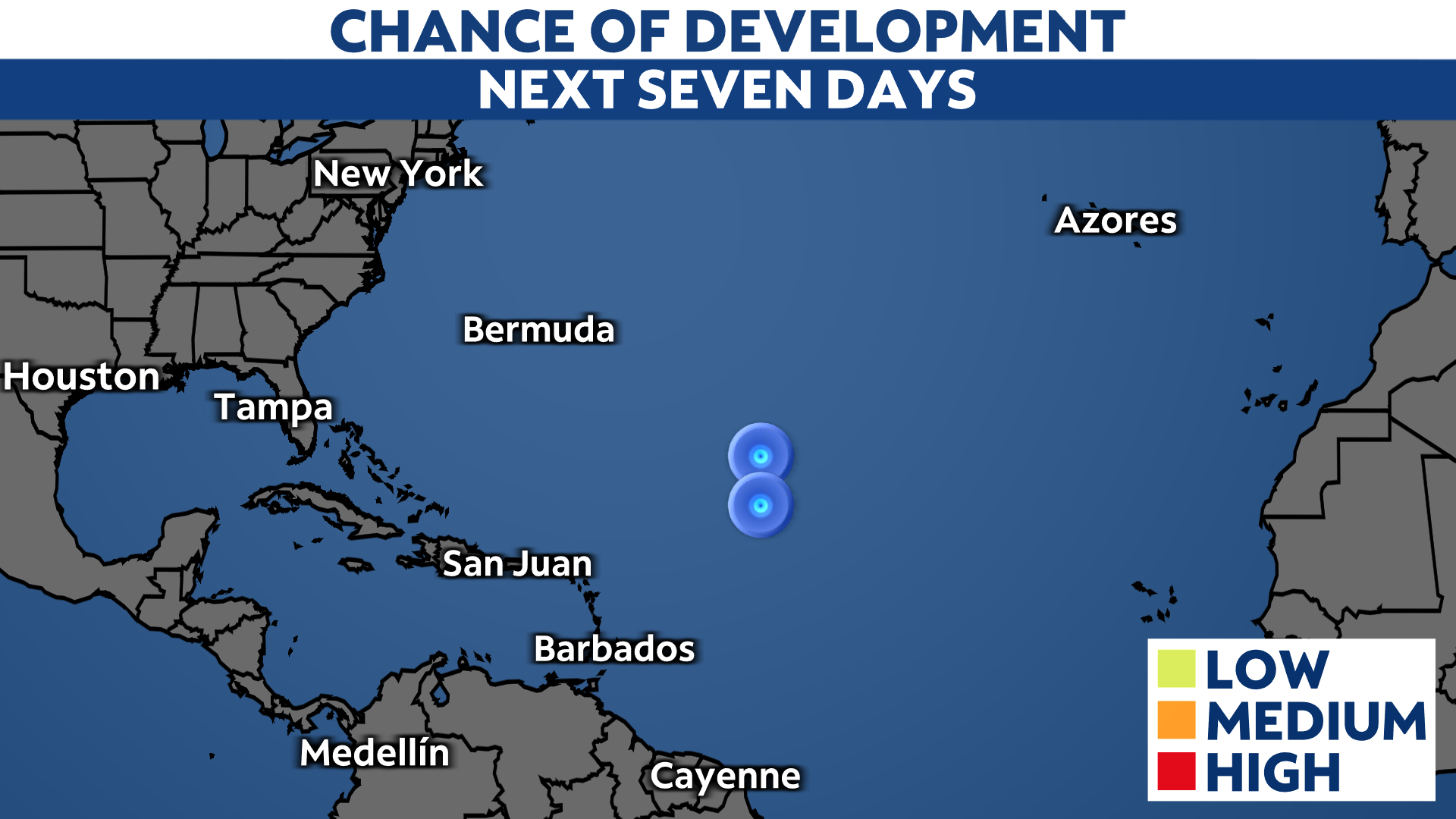
We’re watching four areas across the Atlantic basin with low odds to develop in the next week.


What You Need To Know

  • Four areas being are being watched for development

  • All of them have low potential to develop in the next week

  • There are no significant threats to the U.S. right now

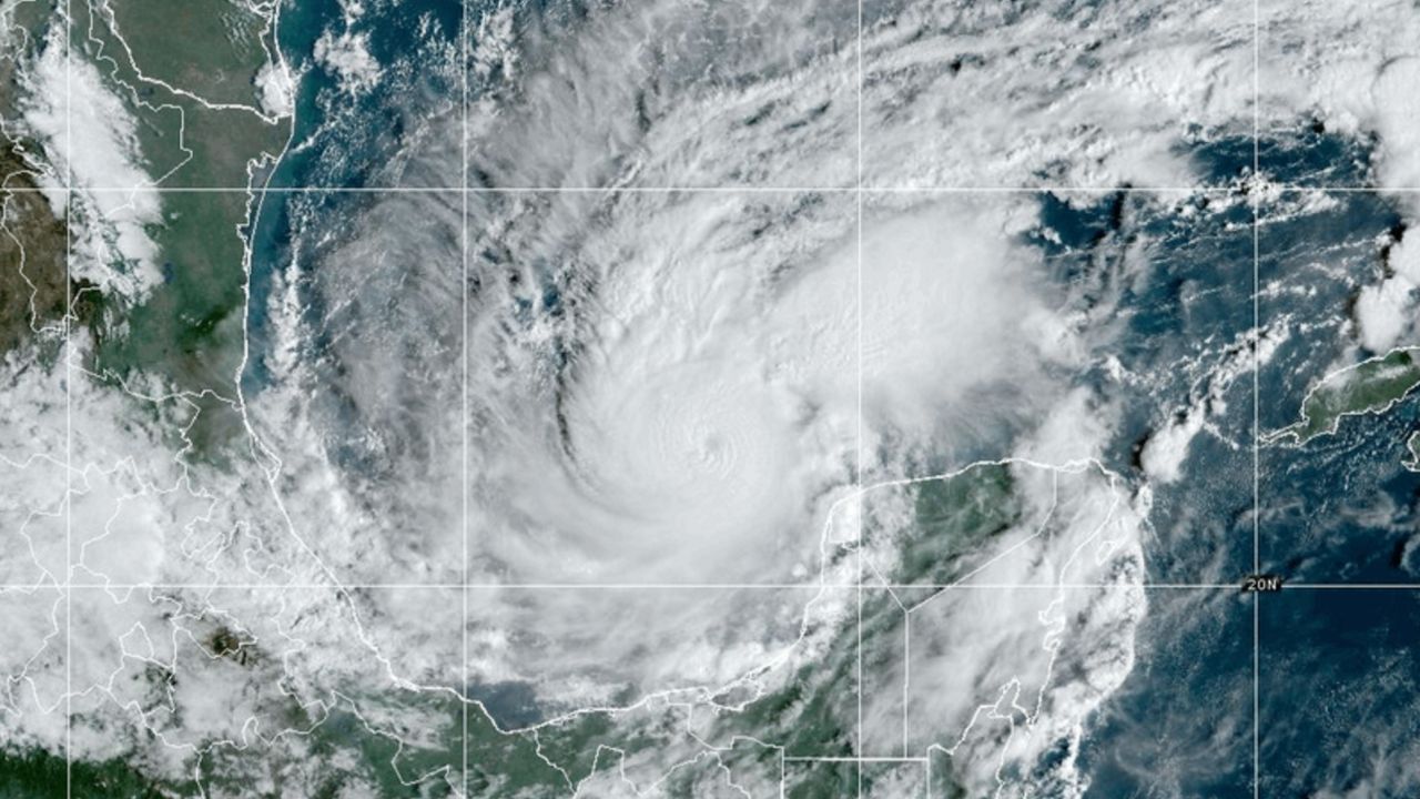
A tropical wave is moving westward across the Caribbean Sea and producing some disorganized showers and storms. Conditions could become more favorable when it reaches the southwestern Gulf of Mexico. Development odds remain low for now.

There is a trough of low pressure in the northwestern Gulf of Mexico near the coasts of Texas and Louisiana. Upper level winds should limit development, but heavy rainfall is expected from this system across the central and western Gulf Coast.

Another tropical wave in the central Atlantic has low odds to develop. Some slow development is possible this week, but conditions will become less favorable by the end of the week, so significant development isn't expected.

There is also a non-tropical area of low pressure a few hundred miles east of the Mid Atlantic. This system will drift northward into colder waters tonight and is unlikely to gain subtropical characteristics. It will bring high surf and rip current risks to the coast of New England and Maine. 

The next name on the list is Francine.

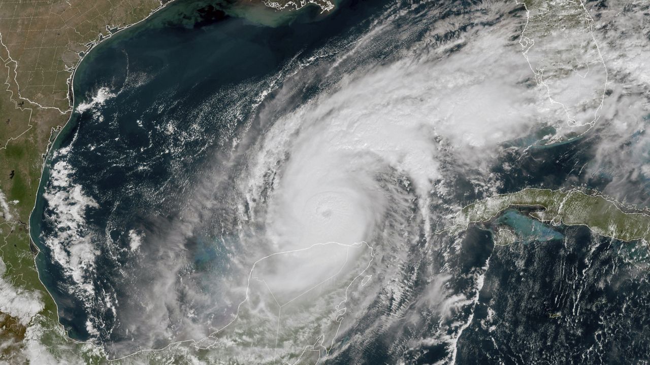
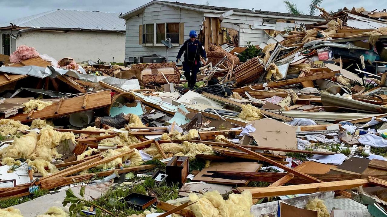
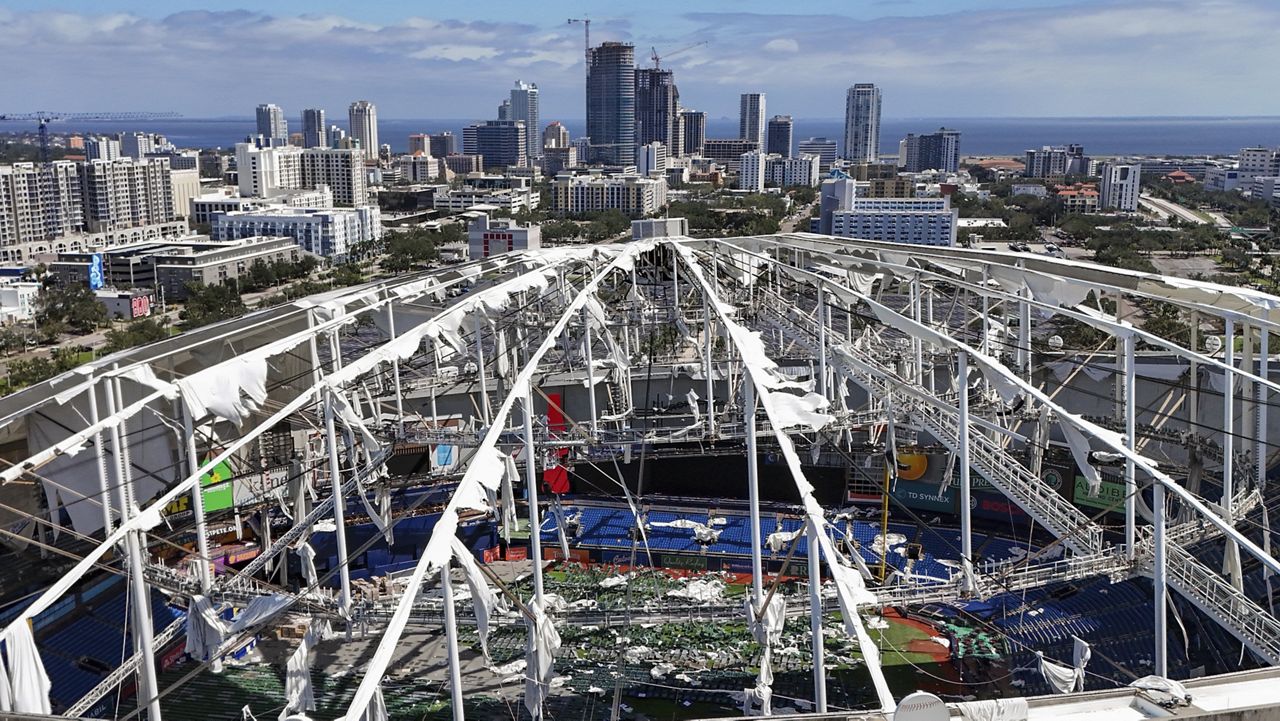
Here's a look at the 2024 Atlantic hurricane season so far.

Our team of meteorologists dives deep into the science of weather and breaks down timely weather data and information. To view more weather and climate stories, check out our weather blogs section.