

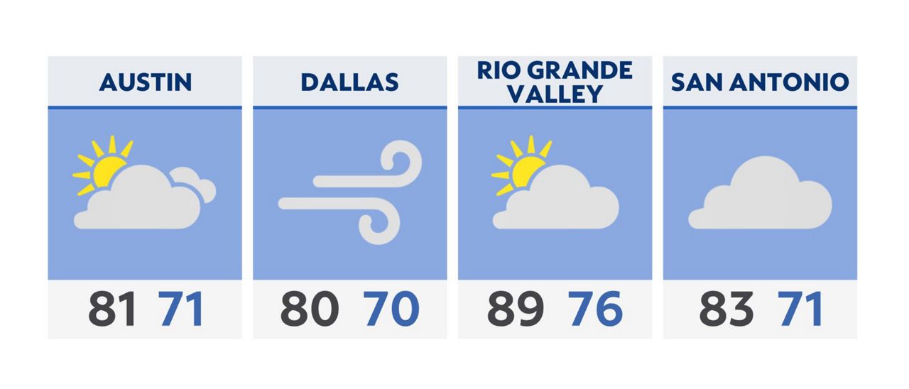
Happy Tuesday! A rather windy day is upon us as red flag warnings are issued across the state. Southerly winds could gust in excess of 30 mph throughout the afternoon. Extreme fire danger will return to portions of South-Central Texas and far western Texas, where blowing dust is likely.
Showers and storms are expected across North Texas overnight.
By Thursday, a persistent upper low will develop across the western U.S., setting the stage for another days-long rain event for Texas to end the week.
Severe storms will be possible with any convection across North Texas this week and into the weekend with large hail and damaging winds the greatest threats.
Click here for the latest 7 Day Forecast | Click here to share your weather photos