
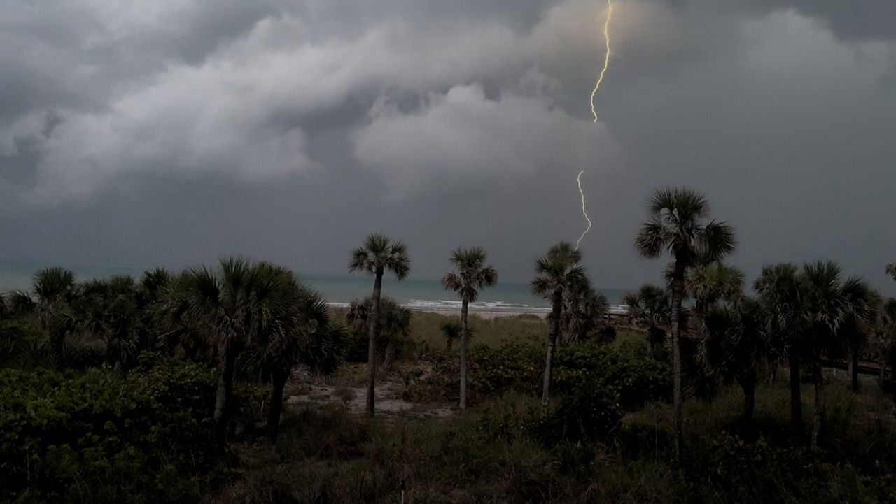
After a mostly quiet spell across Texas, the atmosphere is again loading up with moisture. Additionally, several upper impulses are expected to move over Texas this weekend. These are the ingredients for another heavy rainfall event and possible flash flooding.
While Saturday should be largely uneventful, Saturday night into Sunday seems to be the time for high vigilance in previously flooded and flood-prone areas, especially in the Hill Country.
Specific locations where heavy rain will occur are not predictable, but areas along and west of the I-35 corridor have a level 2 of 4 risk for excessive rainfall through Sunday afternoon, where isolated totals of 4 inches and more are possible.
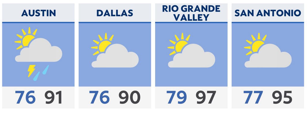
Clouds and rain will keep temperatures slightly below normal.
Rain chances should decline heading into Monday and by midweek next week, dry and hot weather should settle across Texas.
Click here for the latest 7 Day Forecast | Click here to share your weather photos