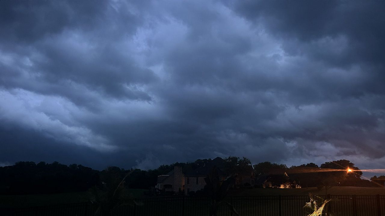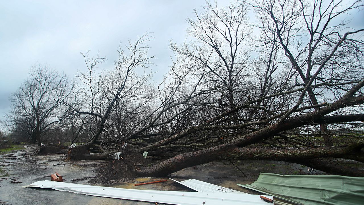
KENTUCKY — As many continue to clean up from Friday's storms, we are bracing for another round of severe weather.
The Storm Prediction Center has parts of the area under a slight and moderate risk.

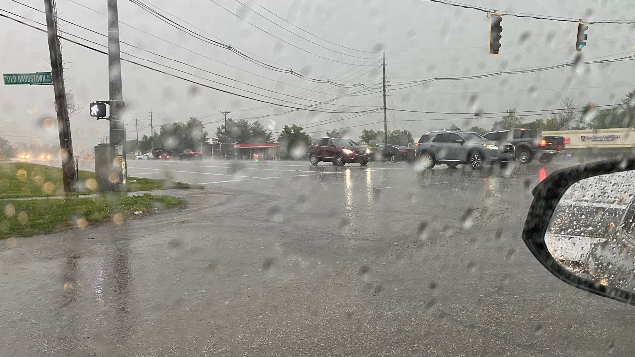
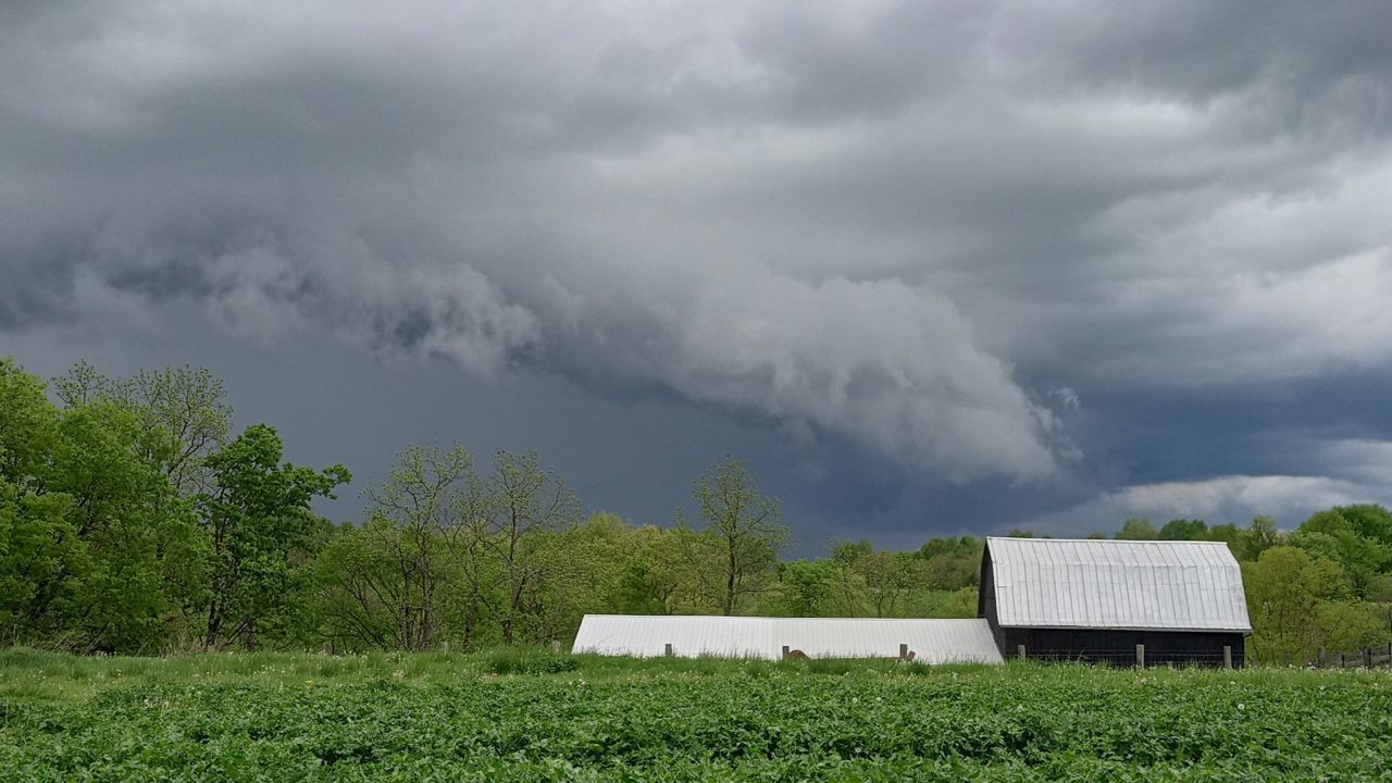
Our storm threat will come in two waves. We are starting off this morning with scattered showers and thunderstorms. A few stronger storms will be possible, with damaging winds and heavy rain the main threats. We could even see a few more storms around lunchtime.
If the atmosphere recovers in the afternoon, severe storms will be likely with damaging winds, large hail and a few tornadoes possible between 2 p.m. to midnight.
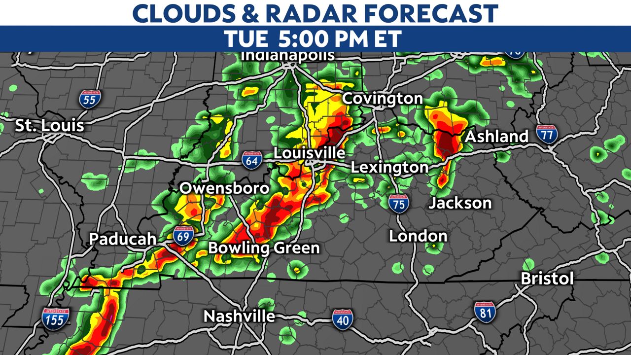
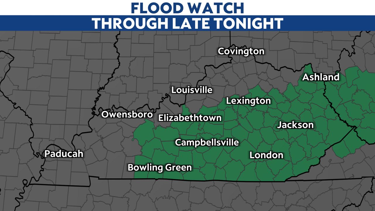
Heavy rainfall and flooding could also be another concern. One to 2 inches of rain will be possible, with localized areas in southern Kentucky up to 3 inches of rain. A Flood Watch is out until late tonight for parts of the area.
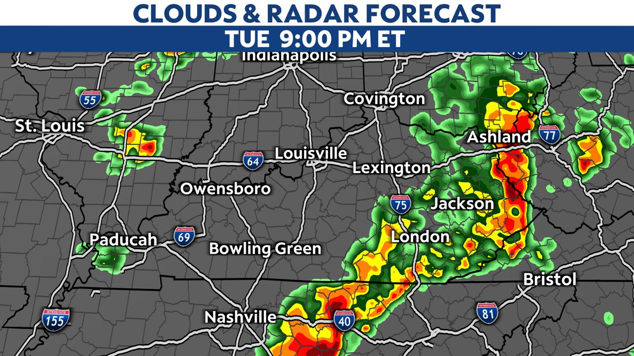
The storms should push out by midnight.
Our team of meteorologists dives deep into the science of weather and breaks down timely weather data and information. To view more weather and climate stories, check out our weather blogs section.