


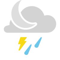
A front remains stalled close to the region tonight. With weather disturbances riding along it, showers and thunderstorms will trigger. A few of which could become strong to severe with gusty winds and heavy rain.
Most of the activity will dissipate around sunset, however, a few storms could linger into the overnight. Otherwise, skies will stay mostly cloudy with lows in the lower 70s. Isolated spots of fog.
We’ll end the workweek under mostly cloudy skies, with the front so close to us. With some instability, spotty afternoon and evening showers and storms are possible, but not expecting widespread thunderstorms. Temperatures will stay in the mid-80s.
Similar conditions are expected tomorrow night. A few evening showers and storms, but most of the activity ceases around sunset. As skies become partly cloudy, lows will be mi the mid to upper 70s.
Drier and warmer conditions are expected over the weekend as a heat dome builds. Look for highs in the mid-90s with only daytime heating spot storms.
 |
Drying overnight Low: Low 70s; Winds: Becoming Calm High: Mid-80s; Winds: Becoming South at 5 mph Hour-by-hour forecast | Share your weather photos | Turn on weather notifications | Radar |