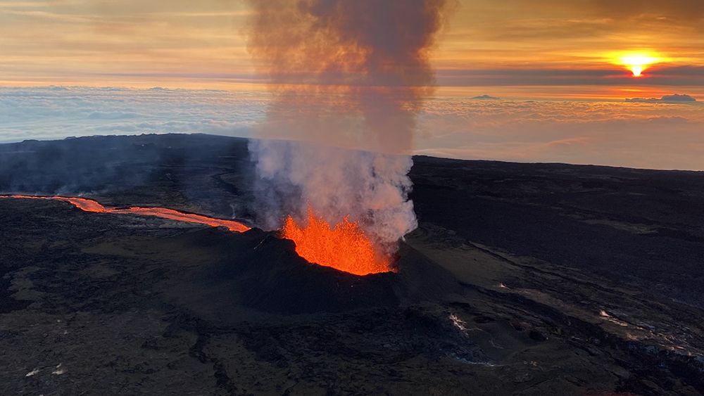
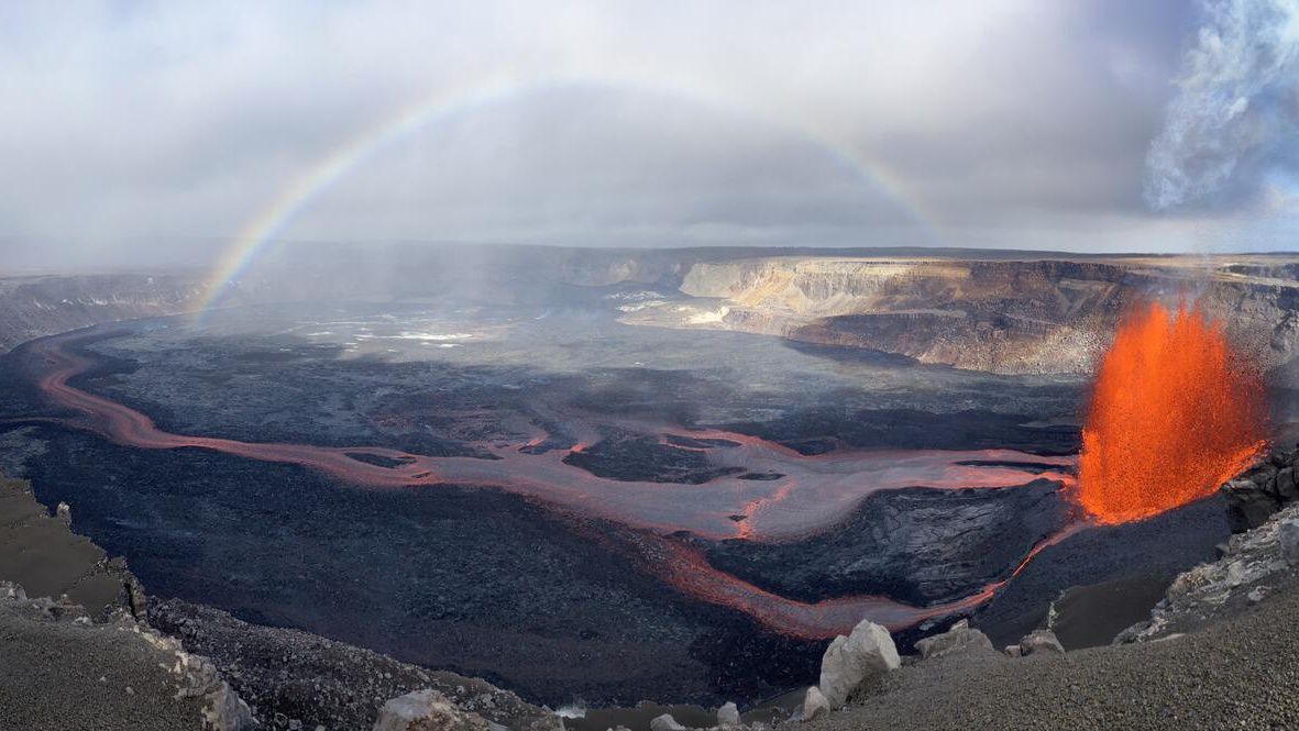
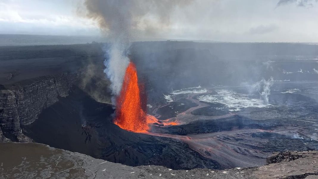
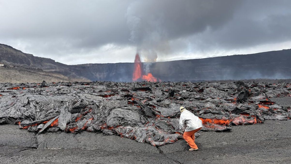
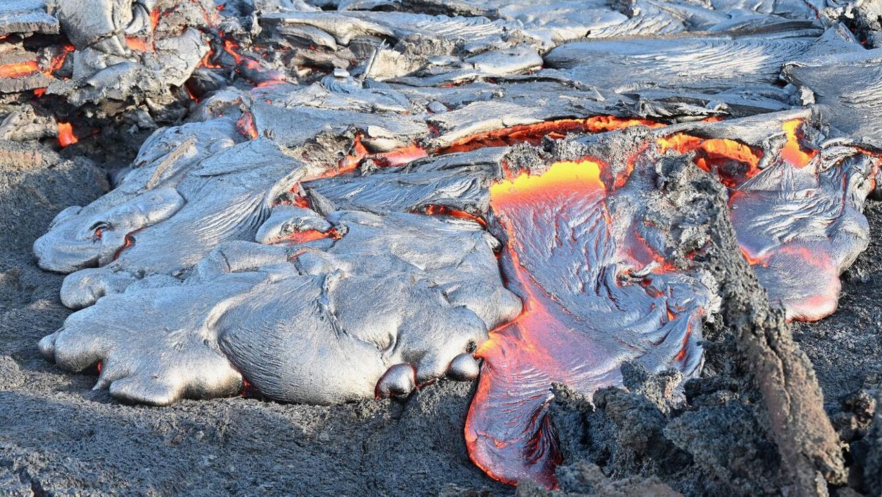
At Sunday’s media briefing, David Phillips from the USGS Hawaiian Volcano Observatory provided a brief update on the Mauna eruption. He said there were no significant changes in lava output within the last 24 hours. As of this morning, there is just one active fissure and a single flow of lava coming from Fissure 3. The head of the lava is about 2.4 miles from the Daniel K. Inouye Hwy.
“The lava flow is down on flatter ground now,” said Phillips. “And it’s basically spreading out like a pancake on the flatter ground. It’s moving very slowly, kind of equilaterally around all the edges there. The average advance rate over the last 24 hours has been measured at about 50 feet per hour. So, very, very slow.”
Phillips also said there was an earthquake swarm beneath the Mauna Loa summit this morning detected by sensors, though it’s unlikely anyone felt it. HVO measured the earthquakes with the largest event at a magnitude of 2.1.
“What this indicates is the magma continues to come up into the system from the magma chamber, and is being transported down to Fissure 3, where it's erupting on the surface,” explained Phillips.
Because conditions have stabilized with lava flowing from Fissure 3 and gas emissions concentrated in that specific area, the USGS lowered the aviation code from red to orange at 8 a.m. Sunday. Phillips explained there is no longer a threat to regional, high-altitude or commercial aircraft, but the hazard is still significant to local aviation flying in the vicinity of the active lava flow and vent. Therefore, a temporary restriction remains in place.
There currently remains no threat to any communities.
According to Denise Lightman from the Hawaii Police Department, there were five citations Saturday night, the majority for speeding. There were no parking tickets issued and no traffic collisions.
Hawaii Island Mayor Mitch Roth said there was a lot of traffic on the Traffic Hazard Mitigation Route on Saturday with just over 4,000 vehicles.
“During that route, many people were pulling over in the first half, which has great viewing, but the second half of the viewing actually has even better viewing,” said Roth. “Just realize there are a lot of people coming, so please make some time to realize it’s going to take a little while getting through. But everybody seemed pretty happy.”
In response to a question from the media, Phillips said the instruments measuring the ground movement are so sensitive that they can detect changes as tiny as a millimeter or smaller. He added the instruments even pick up tidal changes. “Tidal effects affect the ground surface around us too … we can actually measure the ground going up and down every day just because of the tides. That’s how sensitive they are. So when magma comes into the ground and moves around, or when there’s an earthquake, we can actually measure that deformation of the ground.”
Mayor Roth added the County of Hawaii Civil Defense has put up additional webcams, one of which is a live feed provided by the USGS that went live on Saturday.
Details about vog are available at the Hawaii Interagency Vog Information Dashboard. Also find air quality data, its health effects, how to protect yourself from vog, as well as vog and wind forecasts.
Hawaii Volcanoes National Park remains open although Maunaloa Rd., Mauna Loa Observatory Access Rd., the summit and high-elevation areas remain closed.
On Dec. 1, the Department of Land and Natural Resources Division of Forestry and Wildlife closed all hunting in the portion of Unit A of the Mauna Kea Forest Reserve and Game Management Area south of DKI Hwy. known as the “slice. Previous closures continue at Unit J of the Kapapala Game Management Area, the entire Mauna Loa Forest Reserve, the Kipuka Ainahou Nene Sanctuary, Ainapo Trail and cabin, and the Kapapala Forest Reserve.
Visitors to the islands can also view alerts and general information at the Hawaii Tourism Authority website.
Sarah Yamanaka covers events, environmental and community news for Spectrum News Hawaii. She can be reached at sarah.yamanaka@charter.com.


