


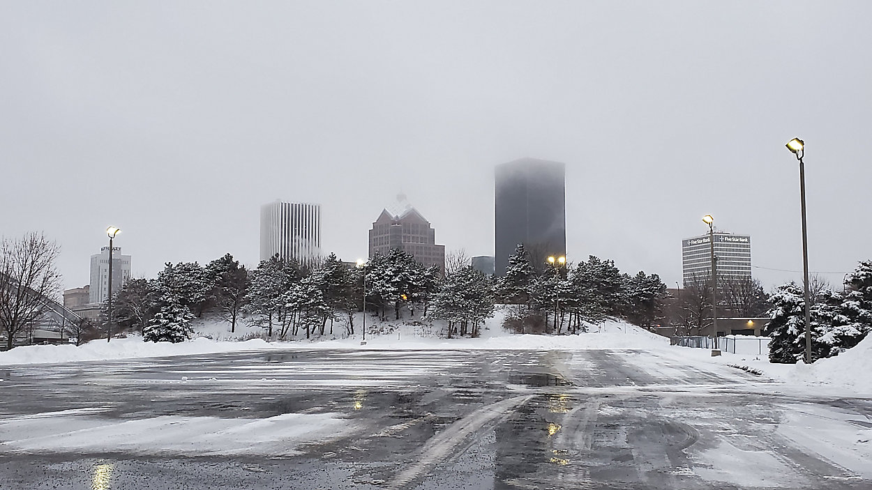
Cold and blustery tonight with scattered snow showers and steadier lake snow to our west. Lows will range from 15 to 20. Winds will continue to gust in excess of 40 and 50 mph with blowing snow a problem in open areas.
Friday will also be blustery and quite cold with winds gusting 40 to 50 mph and temps peaking in the 20s. Scattered snow showers will give way to more widespread snow later in the afternoon with a couple of bursts of heavier snow possible during the evening as a cold front moves through the region.
Scattered lake snow showers will continue Saturday with highs in the low 20s.
A warmer trend will develop Sunday with temps approaching 40. Monday through Wednesday looks mild next week with 40s and even a 50 degree day possible. Some occasional light rain also looks like during this period.