


Since we’ve entered thunderstorm season, I thought I’d write a quick blog about a freakish thunderstorm event we saw many years ago.
Specifically, I’m speaking about the Labor Day storms of 1998.
The stage was set Sunday afternoon with plenty of summer heat and humidity to go around. It started comfy enough in the morning with temps in the upper 50s, but they soared into the 80s with gusty breezes.
A strong cold front dropped in from the northwest with numerous severe storms reaching Niagara County shortly before midnight.
An for a thunderstorm to be classified as severe it must meet certain criteria. 1) It has to produce wind gusts of 60 mph or higher. 2) If it doesn't have winds of that magnitude, but does produce hail at an inch in diameter (the size of a US quarter), it will be classified as severe. 3) It produces a tornado.
These storms raced across Orleans, Monroe, Wayne, Ontario and northern Cayuga counties over about two hours. The National Weather Service estimated winds to be between 80 and 100 mph. The damage path was nearly 100 miles long across our region and between 5 to 10 miles wide.
There were two Derechos the northernmost one is the one that raced through our region. The purple lines indicate gusts fronts at two-hour intervals while the "+" symbols represent wind damage reports.

All of the debris laid in an easterly direction indicative of straight-line wind damage. Most of the damage was downed trees and tree limbs which in turn downed power and telephone lines.
Strong winds created structural damage to some homes, buildings and barns along the path in places such as Lyndonville, Albion, Holley, Brockport, Bushnell Basin, Macedon and Clyde. Several aircraft and the Greater Rochester International Airport were also damaged. Winds gusts at the airport were measured at 89 mph. Winds were estimated to have reached 115 mph in the most severely damaged areas.
There was also damage to buildings and cars from falling trees and branches. Strong winds also damaged apple crops in our area.
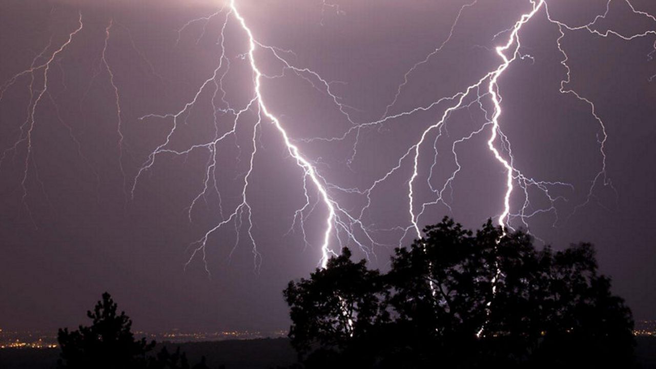
This image shows is from the Buffalo National Weather Service radar showing the line of storms with an embedded supercell thunderstorm moving into Western New York. I was up in Webster on Lake Rd. just up the hill from Bay Rd. The lightning was extremely vivid and continuous as these storms moved into our region.

Widespread power outages occurred across portions of Orleans, Monroe and Wayne counties – some of which lasted nearly a week.
This image is from the Binghamton National Weather Service radar showing the storms moving into the city.

Monroe, Wayne and Cayuga counties were declared federal disaster areas.
Damage was estimated to cost nearly 130 million dollars.
Thankfully, we do not see events like this often. Most of the severe thunderstorms we usually see in our region tend to range from isolated to scattered. With these storms, the damage is much more localized and generally less severe.