The New York State burn ban continues, and even though this time of year brings an overall heightened risk for wildfires, the threat level varies from one day to the next.
To keep up with the changeable conditions, the Department of Environmental Conservation (DEC) issues and updates a fire danger map during the fire season.
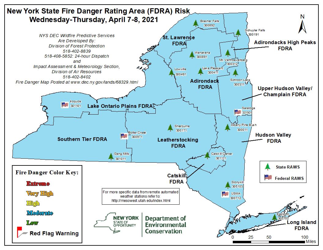
On this map, the DEC divides New York State into multiple Fire Danger Rating Areas or FDRAs.
They then rate each FDRA on a wildfire risk scale from low to extreme.
When a low risk is issued, fuels do not catch fire easily and require a more intense heat source such as lightning.
Open grassy areas are more likely to burn and spread than wooded areas.
Accidental causation of wildfires from campfires, smoking, children, etc., is generally low.
If it's windy, grass fires will spread rapidly. Wood fires spread at a slow to moderate pace.
Embers could travel a short distance and ignite new fires.
These fires are usually controlled easily.
Fires start easily, spread rapidly, and embers that travel short distances to ignite new fires are common.
If brush fires or campfires are left unattended, they are likely to spread.
Control of fires under these circumstances can be difficult if they are allowed to burn without early intervention.
Fires start easily and spread immediately after ignition, intensifying quickly.
Embers that travel long distances to start new fires are a threat.
Fires start easily, spread immediately, and are intense.
Fires under these circumstances can become unmanageable. Control of spread may rely on a changing of the weather or a depletion of the fuel supply.
You can stay up to date with the latest fire danger map available on the DEC's website, and don't forget, New York State's burn ban lasts through May 14.


