


You've probably heard of a storm bombing out, but what does it really mean?
We'll forgive you if you just thought your favorite Spectrum News meteorologist was a little bit excited.
Yes, a storm "bombing out" is a real thing. Here's the science behind bombogenesis, or as you probably know it, bombing out.
Let's start with the basics and work our way up.
The main way meteorologists assess the strength of any given storm is through its barometric pressure. In short, the lower the pressure, the stronger the storm.
When a storm is undergoing bombogenesis, or bombing out, it means that it's rapidly strengthening. And there's a specific metric that indicates when a storm is truly undergoing bombogenesis, or a uniquely fast intensification process.
If any mid-latitude area of low pressure - including nor'easters - undergoes a pressure drop of 24 millibars or more in 24 hours or less, it's officially undergone bombogenesis. Since the entirety of the United States is north of the Tropic of Cancer, we're considered to be mid-latitude.
When bombogenesis takes place, it usually means that exceptionally strong winds are a near-guarantee, along with variable kinds of high-impact weather, depending on the type of storm that's bombing out.
You'll usually hear the term bombogenesis in regards to a nor'easter, or a powerful area of low pressure off the eastern coastline of the U.S., including an extratropical low or a system that's transitioning from a tropical to postropical cyclone.
While it's warm tropical water that allows hurricanes and tropical systems to rapidly intensify, temperature differences actually lead to nor'easters and mid-latitude areas of low pressure like we typically see in the United States.
Each winter, you'll usually see a couple of nor'easters bomb out as polar air meets the subtropical Gulf Stream ocean current. That can mean powerful winds, huge waves and big snowfall totals for the East Coast.
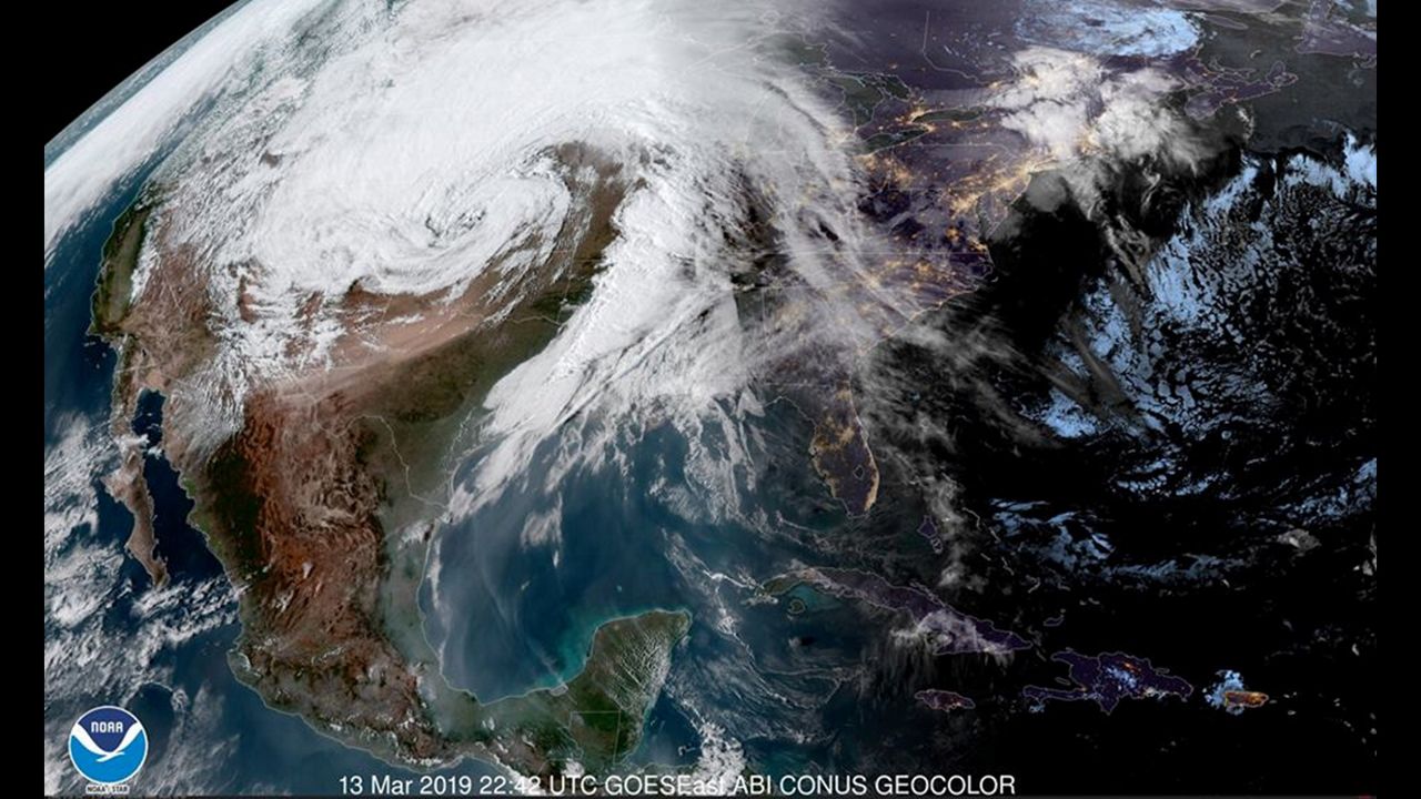
It's not just nor'easters, though. If there's a sharp enough temperature gradient across the nation's heartland - the 2019 so-called bomb cyclone across the Central Plains, for instance - you can get bombogenesis as well.
Remember: Weather is just the product of nature trying to balance itself out. So if there's a really cold land mass right next to really warm sea-surface temperatures, this could be an area that's ripe for big storms.
So there you have it. Storms bombing out is a more than real thing, and if one of these storms is heads your way, watch out.