

A new computer upgrade at the National Weather Service is making a 4-week forecast possible, and it could help save lives.
What You Need To Know
- Forecast length increased from 16 days to 35
- The model resolution has gone from 33 km to 25 km
- The number of forecast models in the ensemble has grown from 21 to 31
What if emergency managers knew two weeks ahead of time that a hurricane or other severe weather was heading to their cities?
They could make plans that could save lives. The advance notice could also give enough lead time to protect infrastructure, and that could save billions of dollars.
In September 2020, the National Weather Service installed the FV3 dynamic core (Finite Volume Cubed Sphere) in its Global Ensemble Forecast System (GEFS).
The GFS ("American model") received the same upgrade back in 2019.
This upgrade is the first major upgrade to the ensemble forecast model suite in five years. The weather service compares this to "replacing the engines in a fleet of cars."
Ensemble forecasting uses multiple starting scenarios for predicting the weather. By using slightly different starting factors, the weather models give a range of possible outcomes and tell forecasters the degree of confidence in a forecast.
For example, in this new version of the GEFS, there are 31 forecasts. If all 31 show similar weather on day 10 or day 20, then there is high confidence in the prediction.
If at day 10 or day 20 various models are showing different outcomes then the forecast confidence is low.
Knowing the confidence in a forecast is critical for emergency planners.
This upgrade has performed well in testing and should be ready to help in the real world this winter. Included in the areas of improvement are greater accuracy in forecasting severe weather, hurricane track and intensity, precipitation, and wave heights.
These gains are global and not just for the United States.

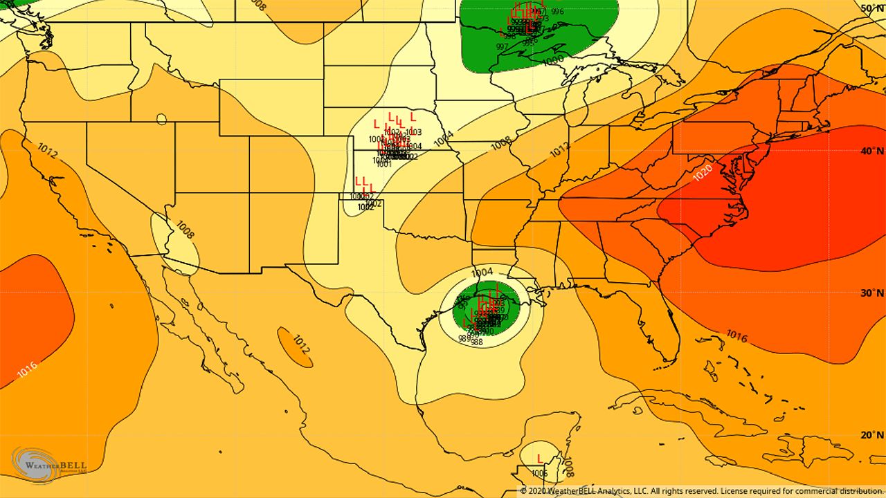
One of the benefits is expecting to be in a product that the weather service creates every week. It's called the Global Tropics Hazards and Benefits Outlook, and it is created by the Climate Prediction Center.
It highlights significant weather and the confidence in the forecast across the globe for the next two weeks. An example is below.
The main changes with this upgrade are that the model resolution has improved from 33km to 25km. This improvement means that the forecast grid is now smaller by almost 10km and gives meteorologists more detail in terms of storm tracks, temperatures, and precipitation.
Also, the number of models has increased from 21 to 31. This increase helps show how much confidence there is in a forecast because meteorologists have more possible outcomes to observe.
Finally, and most impressive to me, the lead time has more than doubled. It went from 16 days to 33.
So, this upgrade may not help you plan a beach day a month ahead of time but is a critical tool for emergency managers when planning for disasters.
)