


February is not leaving quietly. Another winter storm is bringing accumulating snow to New York State.
Winter Storm Warnings and Winter Weather Advisories are already in place for much of the eastern half of New York through Tuesday evening.
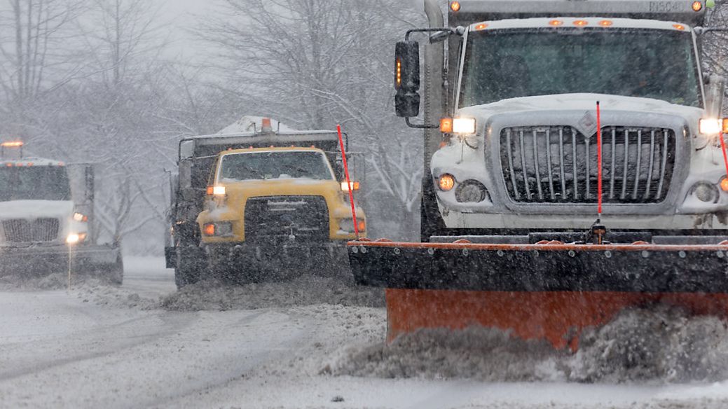
Steady, widespread snow Monday night into Tuesday morning. Snow will fall heavy at times, making it difficult for road crews to keep up.
The Tuesday morning commute will be a slow one due to snow-covered and messy roadways.
For most of our area, this will be a mainly snow event. However, in the Finger Lakes, central New York and parts of the Southern Tier, sleet and even some freezing rain may mix in, causing a drop in potential snow accumulation.
Through Tuesday afternoon, widespread wintry weather ends from west to east. Temperatures should climb several degrees above freezing in the afternoon, which will help improve those messy roads.
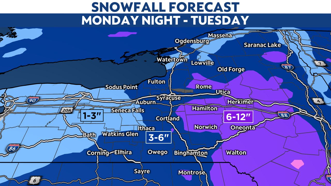
Communities that stand the best chance of seeing at least 6 inches of snow include those in the southern Tug Hill, Mohawk Valley, southern Adirondacks and the Catskills.
From Watertown down to Syracuse and Binghamton, snow totals will range from 3 to 6 inches by the end of the Tuesday.
Totals will decrease the farther west you travel from I-81 due to sleet cutting down snow potential.
Our team of meteorologists dives deep into the science of weather and breaks down timely weather data and information. To view more weather and climate stories, check out our weather blogs section.