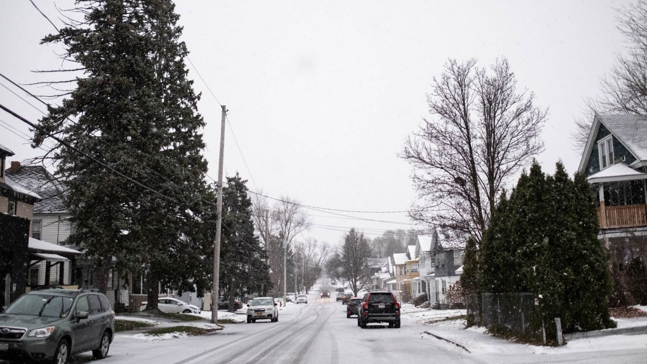
A light to moderate impact snowfall will move through the region beginning Sunday through Monday.
As a storm system approaches from the southwest, light to moderately heavy snow will break out this afternoon and evening.
During the on-set, temperatures may be warm enough to allow for some rain to mix in for the lower elevations. However, it will quickly transition to snow by Sunday evening.
With temperatures in the mid-30s Sunday afternoon, any snow that falls should have a difficult time causing issues on the roads.
Snow will continue to fall into the evening, and as temperatures drop, snow-covered roads and slick travel conditions will be possible.
Widespread snow will taper off from north to south overnight. Steady snow will hold on the longest south of the New York State Thruway into the Catskills and eastern Southern Tier.
This is where we also expect our highest snow totals to be through Monday afternoon.
We expect the Monday morning commute to affected the most in these same areas. Slippery road conditions will remain possible area-wide to start Monday, though.
As the low pushes farther away from our area Monday afternoon, widespread snow chances diminish and we’ll be left with scattered snow showers and flurries bringing minor, additional accumulation.

Snowfall amounts will be less further west and north from Syracuse, with the highest totals coming in the eastern part of the state.
Our team of meteorologists dives deep into the science of weather and breaks down timely weather data and information. To view more weather and climate stories, check out our weather blogs section.


