


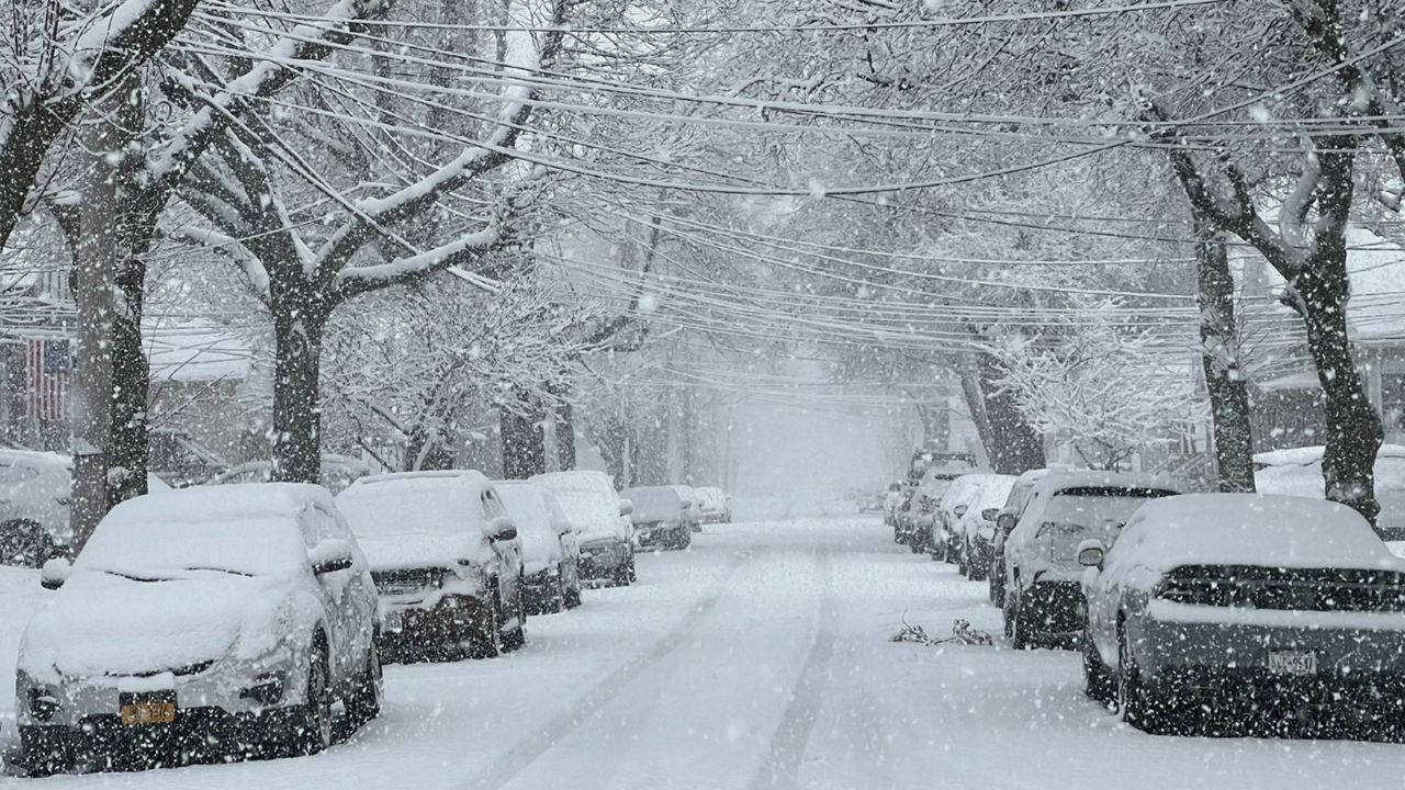
After a winter storm that brought measurable snowfall to a good portion of the state late last week, parts of of western and central New York got to cash in on even more snow over this past weekend. Lake-effect snow, that is.
While some parts of the state saw little to no accumulations, other places measured an additional foot or more as of this morning. These spots are where the most persistent snow bands set up.
To see how much fell in your neighborhood, click on the snowflake icons on the interactive map below.
Even though much of the heavy lake-effect snow bands will continue to weaken and become more disorganized today, those traveling through parts of the region could encounter hazardous travel conditions in spots. Please be mindful of this if you need to be out on the roads today.
Our team of meteorologists dives deep into the science of weather and breaks down timely weather data and information. To view more weather and climate stories, check out our weather blogs section.