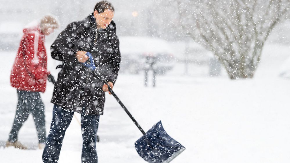
Lake-effect snow has shifted southward today, bringing heavy snow to areas southeast of Lake Ontario.
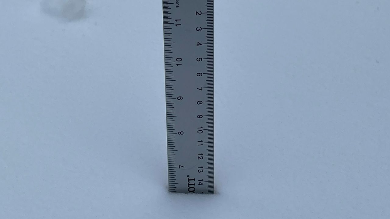
From Saturday night through Sunday, areas east of Lake Ontario received 1 to 2 feet of snow, with a few spots measuring even higher amounts. Today that band of snow is on the move.
As the wind shifts, snow will drop south into Central New York this afternoon before tapering off tonight across the Southern Tier.
Lake-Effect Snow Warnings continue for Oswego, Jefferson and Lewis counties for significant snow, blowing and drifting snow and dangerous travel conditions through this evening.
A Winter Weather Advisory for southern Oneida and Herkimer counties remains in effect as well. Similar conditions can be expected.
Additional snow accumulations are expected to range between 3 to 6 inches in these areas, but locally higher amounts are possible.
Snow drops south into central New York, including Syracuse, through this afternoon. Totals around the Syracuse area may range from a coating to 3 inches by tonight.
Snow will taper off as it moves into the Finger Lakes and Southern Tier tonight, but a coating to an inch may be possible.
A leftover flurry or snow shower to start Tuesday can't be ruled out.
Reduced visibility and snow-covered roads will still impact travel across parts of the region through tonight.
The heaviest snow continues to impact communities within the vicinity of the Tug Hill Plateau. An additional 3 to 6 inches (and possibly more) is expected, especially for northern Oswego and northern Oneida Counties, where the most persistent snow bands set up.
As the snow drifts southward this afternoon and evening, it will weaken. This means less snow for the areas surrounding Syracuse, but 1 to 3 inches is certainly possible.
Plan on the possibility of a slippery evening commute in Central New York, regardless.
After snow tapers off tonight, we'll have quieter weather leading into the middle of the week.
Our team of meteorologists dives deep into the science of weather and breaks down timely weather data and information. To view more weather and climate stories, check out our weather blogs section.


