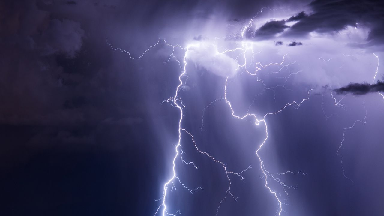
Maybe you’ve experienced a severe thunderstorm firsthand and walked away with a greater appreciation for how intense they can be. Against my desires, I recently got caught in the middle of one.
A couple of weekends ago, on July 25, I was home with my family in Westchester County, where I grew up.
An urgent personal situation occurred where I had to commute around some time shortly after 10:30 p.m. to Rockland county, and I wasn’t able to commute at any other time.
The emergency that occurred is not relevant to this discussion, but what I experienced is relevant to what meteorologists do.
Aware of the marginal risk for severe weather, I checked the radar before getting on the road. I saw one small storm traveling south through Westchester towards the Hudson, but it was neither strong nor severe. The rest of the Tri-state area was dry.
On my travels south towards I-287, rain started to come down, lightning began to flash frequently and it only became more intense. As this small storm made its way towards the Hudson River, it rapidly intensified, and I got caught right in the middle of it.
Up to the moment I arrived at the Mario Cuomo Bridge to head into Rockland, I was driving through the most blinding rain I had ever experienced. The intensity was great enough that I couldn’t even see the white lines on the road.
I was also getting pelted with small hail.
In addition to that, gusty winds were pushing my car side to side. With wet roads and high winds, the risk of hydroplaning became more evident.
Right before crossing the bridge, I pulled over and kept my hazard lights on. I wanted to wait for the storm to ease up before crossing.
At that point, I checked for information and learned that a severe thunderstorm warning was issued close to 11:00 p.m. and ran through midnight. The main concerns were for damaging winds over 60 mph and quarter-sized hail.
This was the only warning that was issued that night. The radar indicated that I was in the center of the heaviest rain from the storm.
After the rain eased a bit, I made my way over the bridge. Shortly before reaching my destination, I came across a road covered in a layer of mud and small rocks. This was from runoff water recently gushing off the side of a hill.
Thankfully, the storm moved out of Rockland not too long after I arrived at my destination, and I eventually returned home safely. One storm report came in of a tree down over I-87 in Westchester around 11:25 p.m.
This was, without a doubt, the worst weather I had ever driven through. Nothing bad happened, but that could easily have been a different story. Had there been no emergency, I would not have been on the roads.
What can be learned from this is that you should take severe weather risks seriously. Even with my knowledge of the weather and situation, I still got caught in intense weather.
If there is a risk for severe weather, always check the radar before getting on the roads. If a warning is in effect in your area, do not travel.
With my experience being an example, the NWS issues these warnings for a reason. Deliberately choosing to be outdoors or traveling during severe weather is also choosing potential danger over safety.


