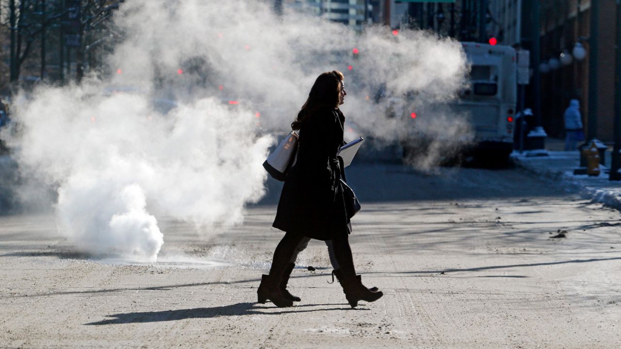
The coldest air of the season is on the move and making its way to Western New York. Because our temperature is dropping, many are wondering if we’ll see a lot of snow.
For Buffalo, because of our proximity to Lake Ontario and Lake Erie, lake-effect snow is a possibility. For many other areas around the country, getting colder actually means there is less likely to be a big snowstorm when temperatures are frigid.
In order for snow to form, there are three basic things that you need in the atmosphere. You must have:
- A temperature near freezing
- Water vapor
- Rising air
A temperature near freezing is an obvious piece of criteria. For snow to be considered snow, it must stay frozen from the clouds all the way down to the ground. That is why it is possible to see snow when the temperature is a few degrees above freezing and also why you see snow when the temperature is below.
Water vapor is essential for what makes up snow! The catch is that warm air has a lot of moisture in it, while colder air is much drier. Air that is zero degrees Fahrenheit can only hold about one-seventh of the amount of moisture that air at 30 degrees Fahrenheit can. The lack of moisture in much colder air is one why reason snow won’t be as common in a bitterly cold setting.
Finally, cold air is more stable than warm air. Have you ever heard the phrase that warm air rises? That's the truth.
On the flip side, cold air doesn’t rise as easily so there is no air in motion. That air motion is the key to the formation of snow.
In an area where the temperature is between -10 to 10 degrees Fahrenheit, you’re less likely to see large amounts of snow. If you’re a snow-lover, the ideal temperatures you want to look for are the teens and low 20s.
In an environment like that, you’ll be skiing and snowboarding in no time!
For more blogs and forecasts follow Meteorologist Kaylee Wendt on Facebook, Instagram, and Twitter!


