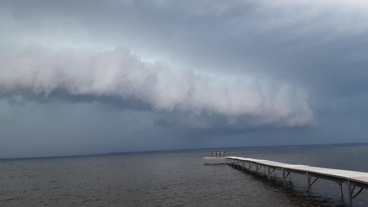
During the summer months, it’s not unusual to turn on your TV and see an alert scroll across the screen, stating a severe thunderstorm warning has been issued.
It is also without fail viewers call in and wonder why our Spectrum News meteorologists haven’t issued a severe thunderstorm warning for the storm impacting their hometown.

While our team of meteorologists work to provide you with the most up to date information regarding severe weather, we do not actually have the power to issue warnings. These warnings come courtesy of your local National Weather Service Forecast Office.

At least one of two basic criteria need to be met in order for a severe thunderstorm warning to be issued. If a storm produces hail one inch in diameter (the size of a quarter) or larger, and/or contains winds greater than or equal to 58 mph, a severe thunderstorm warning will be issued.

These two factors can be indicated by either doppler radar or reported by a trained storm spotter. Contrary to popular belief, frequent lightning and torrential rain do not meet the criteria for the issuance of a severe thunderstorm warning.
If flooding rains do occur, a separate flood warning/advisory will be issued in conjunction with the severe thunderstorm warning. It may come as a shock to learn so few factors are considered before the issuance of a severe thunderstorm warning by the National Weather Service.
However, these warnings remain crucial in keeping the public informed and safe. Remember, when thunder roars, go indoors!


