


WEATHER HEADLINES:
→ Quiet and Dry Tonight
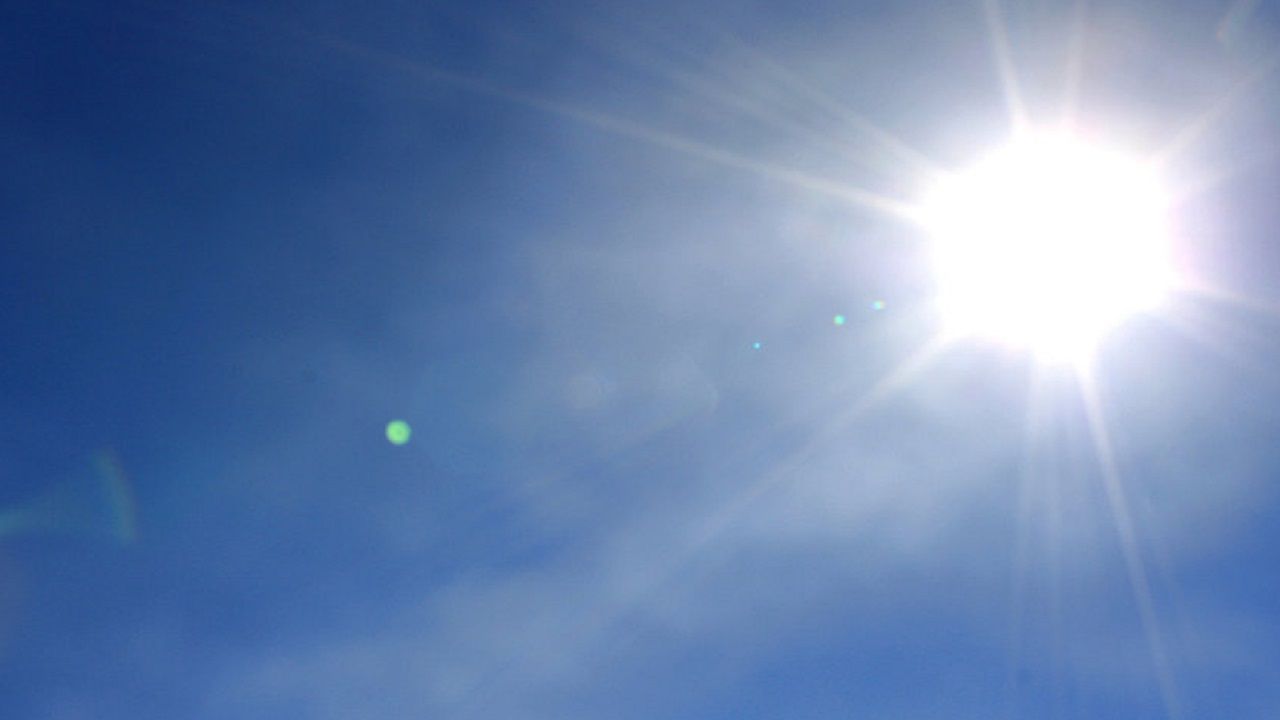
→ Warmer with More Sunshine Monday
→ Turning Colder but Still Dry Tuesday
Skies will be mostly clear to partly cloudy overnight from the North Country to the Southern Tier. It will be chilly, but not as cold as some recent nights.
Lows Tonight:
- Central New York: 20s/30
- Northern New York: 26 – 34
- Southern Tier: 27 – 35
On Monday, most of us will enjoy a good deal of sunshine. Some extra clouds will be found north of the Thruway at times. Overall, conditions will remain dry. Temperatures will also be much warmer.
Highs Monday:
- Central New York: 40s/50
- Northern New York: 39 – 45
- Southern Tier: 45 – 52
Monday night, a cold front will swing through bringing us some extra clouds. Precipitation chances will remain minimal, however.
In the wake of the cold front on Tuesday, temperatures will be considerably cooler. Expect daytime highs to reach the 30s.
By Wednesday, another brief warm-up looks likely. Highs will be in the low-40s, but expect some extra cloud cover to accompany the milder readings.
Most of Thursday will be dry with clouds and limited sunshine. Highs will return to the 30s.
Thursday night, our next weather maker will approach and bring us increased chances for rain and snow showers.
These rain and snow showers will continue at times through Friday and the weekend. Highs will rebound back through the 40s.
Track rain and snow showers anytime with our Interactive Radar!
Stay tuned to Spectrum News for updates!
Follow Meteorologist Carson Metcalf on Facebook, Twitter, and Instagram!