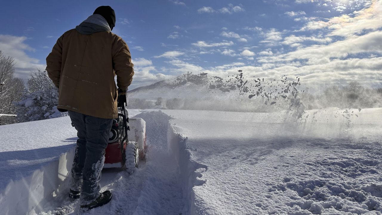
When towns along the Great Lakes get buried in drifts of blowing snow, like several have over the past few days, weather experts start talking about the “lake effect."
Lake-effect snow often occurs in relatively narrow bands that dump copious amounts of snow. The weather phenomenon can drastically increase snowfall totals, and it may slam one area and leave another just miles away untouched.
Over the weekend, parts of upstate New York, Pennsylvania, Ohio and Michigan saw nearly 4 feet of lake-effect snow.
Here's a look at how it works:
Cold air passes over the lakes
In the United States, the lake effect typically begins when cold air — often from Canada — blows in over the Great Lakes' warmer waters.
Warming air from the lakes then pushes the moisture in the sky higher into a zone most conducive to snowfall because of its temperature. That creates clouds capable of dumping lots of precipitation downwind, said Phillip Pandolfo, a meteorologist in the National Weather Service’s office in Buffalo, New York.
Most of the moisture needed for lake-effect snow does not actually come from the lakes, but rather from cold air that blows over them.
“It’s a common misconception that the lakes are a tremendous source of moisture,” Pandolfo said. “In practice, we actually need the air to actually have enough moisture in it before it really starts going over the lakes."
Clouds form, snow falls
With the right conditions, the rising, moisture-laden air causes clouds to form that could bring "some really intense snowfall rates,” Pandolfo said.
The results typically are thin bands of clouds that can produce heavy snowfall — 2 to 3 inches per hour and sometimes more. And because the bands are narrow, towns near each other could see significant differences in snowfall totals.
Forecasting lake-effect snow can be difficult; slight changes in wind direction can have a major impact on where the heaviest snow falls, according to the weather service.
Heavy snow is a fact of life near Great Lakes
Lake-effect snow goes hand-in-hand with living near a Great Lake. In many cases, a foot or two of snow will fall, but occasionally it can get out of hand.
In November 2022, lake-effect storms dumped more than 6 feet of snow in western New York. Those wintry storms were the worst in New York since at least November 2014, when some communities south of Buffalo were hit with 7 feet of snow over the course of three days, collapsing roofs and trapping drivers on a stretch of the New York State Thruway.
In parts of Michigan's Upper Peninsula, snowfall can total more than 20 feet a year as the lake effect bolsters storms, according to researchers at the University of Michigan and Michigan State University.
Redfield, New York, on the Tug Hill, is typically the snowiest of any populated community in the Great Lakes. with an average of 22 feet per year and can occasionally reach 30 feet or more. During the winter of 2016 to 2017 they received 387.9 inches.
The phenomenon can also happen with other very large lakes, including the Great Salt Lake in Utah.


