


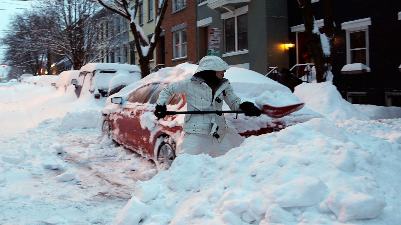
Gov. Kathy Hochul says she has mobilized additional resources in preparation for significant snowfall and strong winds across the state as a lake effect snow event impacts areas in Western New York, the Finger Lakes, Central New York, the Mohawk Valley and the North Country.
Areas in northern Cayuga, northern Oneida, Oswego, Jefferson and Lewis counties could see total snow accumulations of up to 4 feet through the prolonged event in the most persistent lake snows. The greatest accumulations will be across the Tug Hill Plateau. Other areas could see up to 2 or more feet of snow.
Most of the snow is expected starting Friday and continuing into the weekend. Strong and gusty winds up to 45 mph in some places are forecast to begin today and last through Thursday evening.
“As the first lake effect storm of the new year moves in, I’ve mobilized our state resources in preparation for significant snowfall and strong winds,” Hochul said. “We are working in close coordination with our local partners, and I encourage everyone to stay alert and monitor their local forecast.”
A Winter Storm Warning is in effect for parts of the North Country through early Friday morning. A Lake Effect Snow Warning is in effect for parts of Western New York, the Finger Lakes, Central New York, the Mohawk Valley and the North Country into the weekend. A Winter Weather Advisory is also in effect for parts of the North Country through early Friday morning, Central New York into Thursday, and the Mohawk Valley through Friday night.