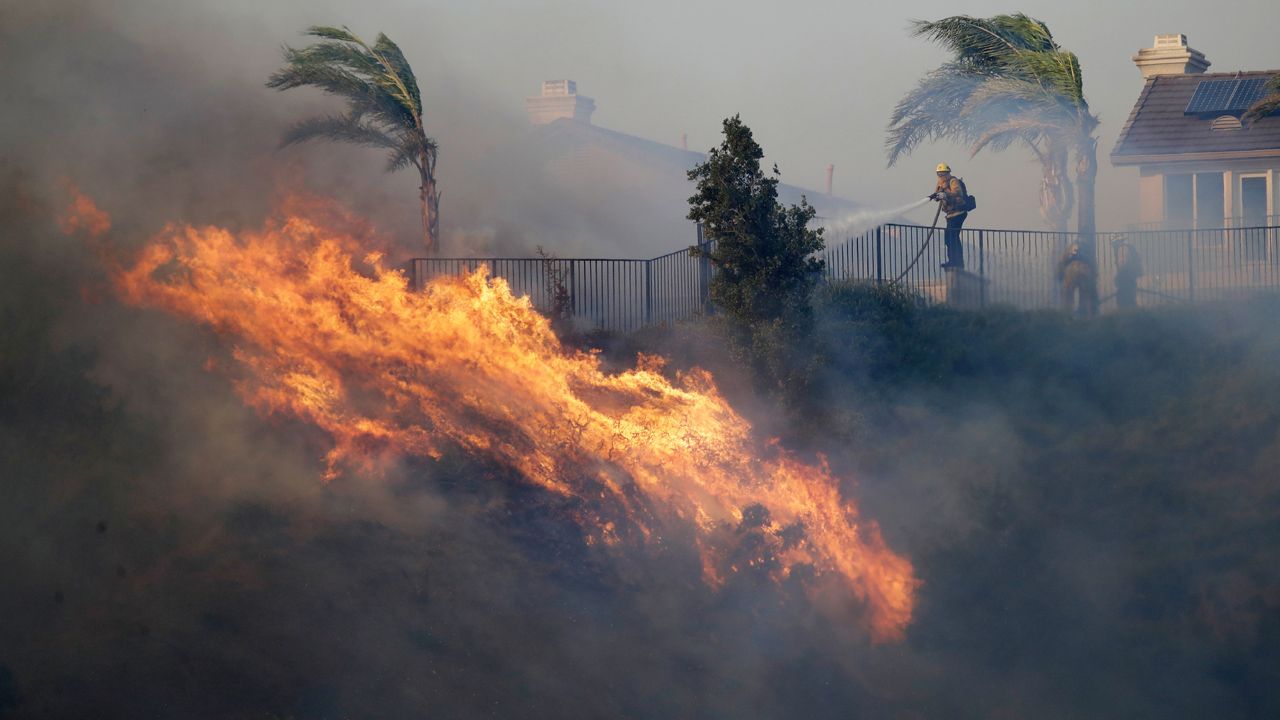
State officials are implementing a new real-time weather data tool to help inform New Yorkers when there is an increased risk of wildfires, Gov. Kathy Hochul announced Friday. This comes as the state issued a “High” fire danger rating due to recent dry conditions in New York.
The New York State Department of Environmental Conservation (DEC) and New York State Mesonet at the University at Albany researchers are utilizing data from the statewide weather network to generate daily fire danger ratings to offer more reliable wildfire information and improve public safety.
“We’re seeing the effects of climate change in real time, with dangerous wildfire seasons across the continent year after year,” Gov. Hochul said. “We want to make sure the state has the latest tools and information to prepare for and respond to wildfires to ensure our communities and resources are protected.”
Fire danger maps are published simultaneously on both the DEC website and the New York State Mesonet Fire Danger Products web page. The DEC Fire Danger Map page is available here.


