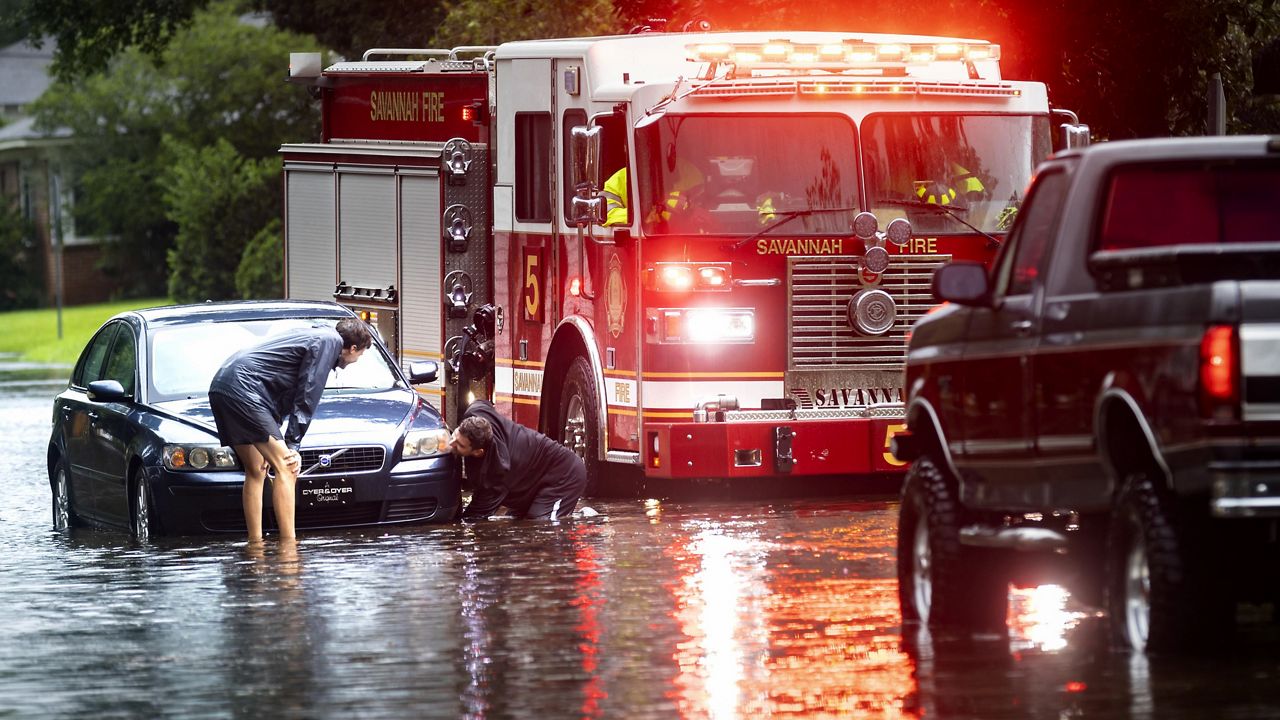
Gov. Kathy Hochul cautioned New Yorkers Thursday ahead of Friday's arrival of Tropical Storm Debby as parts of the state are forecasted to be impacted by the remnants of Debby with heavy rain and potential river and flash flooding.
Starting around midday Friday, Debby is expected to produce between 2-4 inches of rainfall with locally heavier amounts of 3-5 inches for parts of the North Country, Central New York, Finger Lakes, Mohawk Valley, Capital, Mid-Hudson and Southern Tier regions.
The heaviest rain is forecasted to begin Friday afternoon and continue into the evening, and the heaviest rainfall totals are expected in parts of the southern Adirondacks, the eastern Catskills and Central New York. Heavy rain may cause flooding of urban or poor-drainage areas, as well as flash floods and river flooding.
For the New York City, Long Island and lower Mid-Hudson regions, there is the potential for isolated severe storms with damaging winds gusts and brief tornadoes, ahead of the cold front beginning Friday afternoon through Friday night. Wind gusts up to 35 to 45 mph are possible along the coast, which could result in tree damage and power outages.
“As we prepare for flood conditions, it is critical that New Yorkers monitor their local forecasts and take proper precautions,” Gov. Hochul said. “My administration will continue to monitor and deploy necessary resources to impacted areas across the state.”
Flood Watches have also been issued for many areas of the state through Saturday.
For a complete listing of weather alerts, visit alerts.weather.gov.


