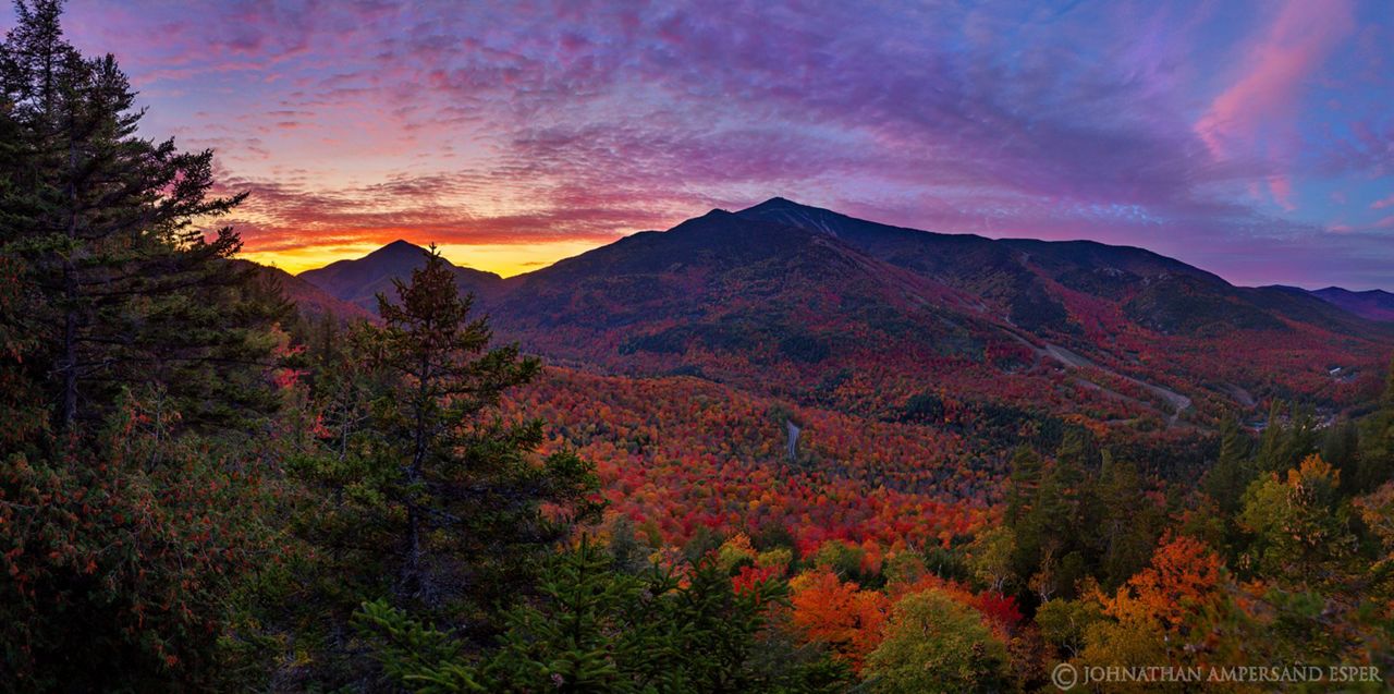
If you were outside at any point from Wednesday evening through Thursday, you know scenes like this are, unfortunately, a thing of the past for many. Our first nor'easter of the season (and very powerful one at that) brought two to five inches of rain and strong winds in excess of 40 mph.
As you may imagine this is the worst possible combination for leaves that were barely hanging on by a thread anyway.
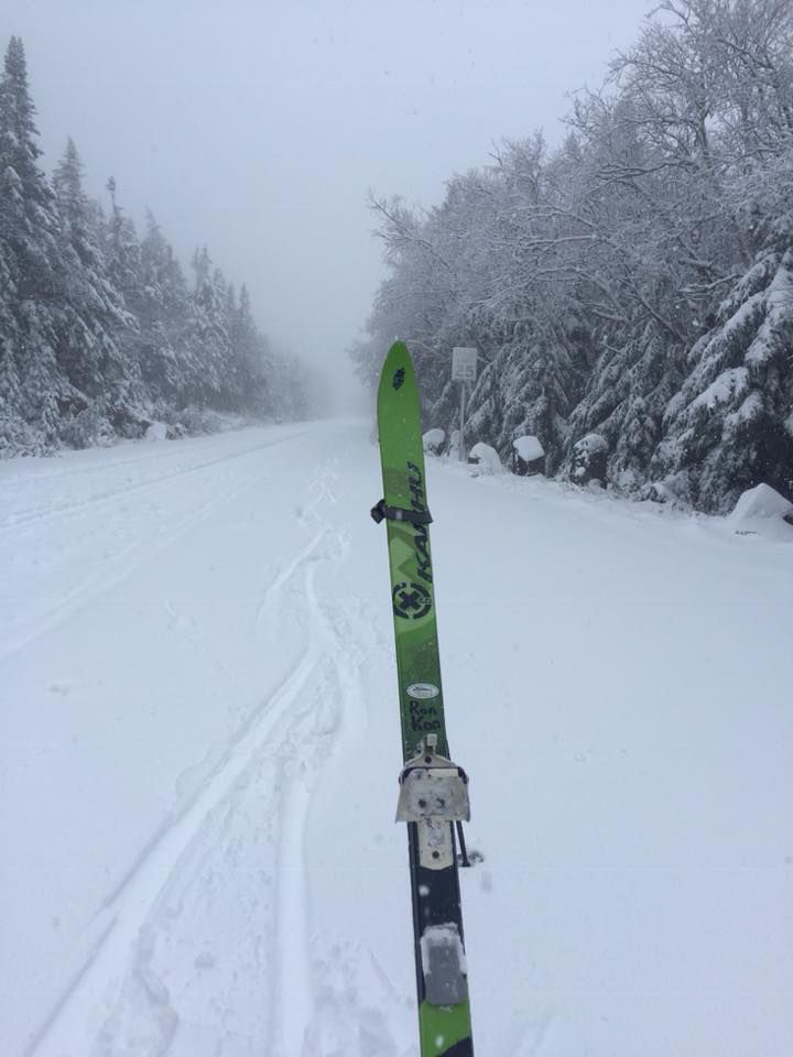
If there is any kind of silver lining to this nor'easter it's that you may be treated to snow-capped mountains with some foliage still hanging on for dear life in the lower elevations. Some higher spots, upwards of 3,000 feet, received accumulating snow from this storm.
As of just before 5 p.m. Thursday, there was five inches of snow near the top of Whiteface mountain and it was still snowing. So with all of that being said, this week's foliage reports from New England may be a bit inaccurate since they were issued before the storm hit.
If you're planning on leaf peeping this weekend expect a lot of leaf drop. This will no doubt lead to leaf covered, slippery trails if you're planning on hiking.
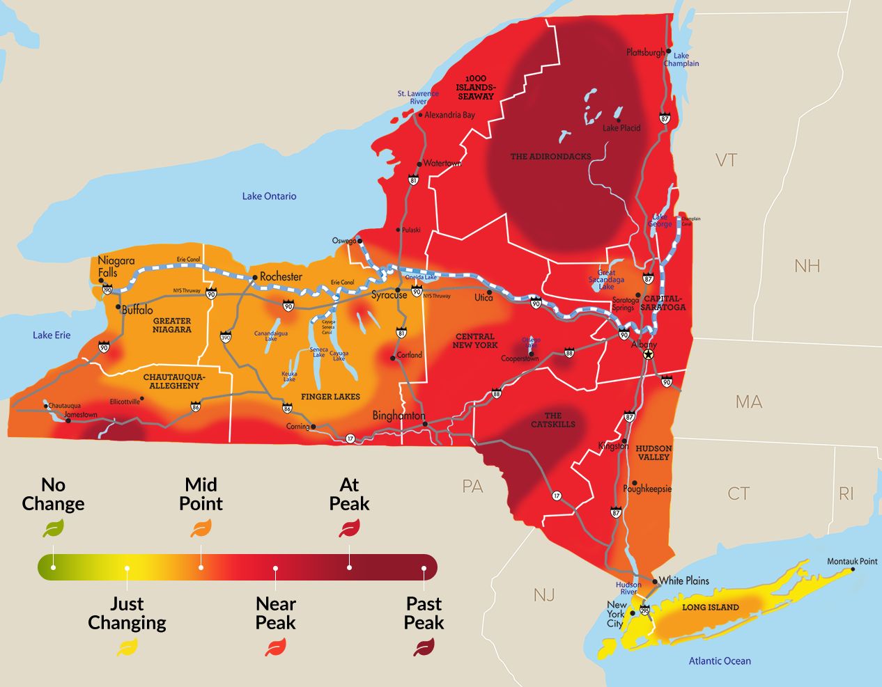
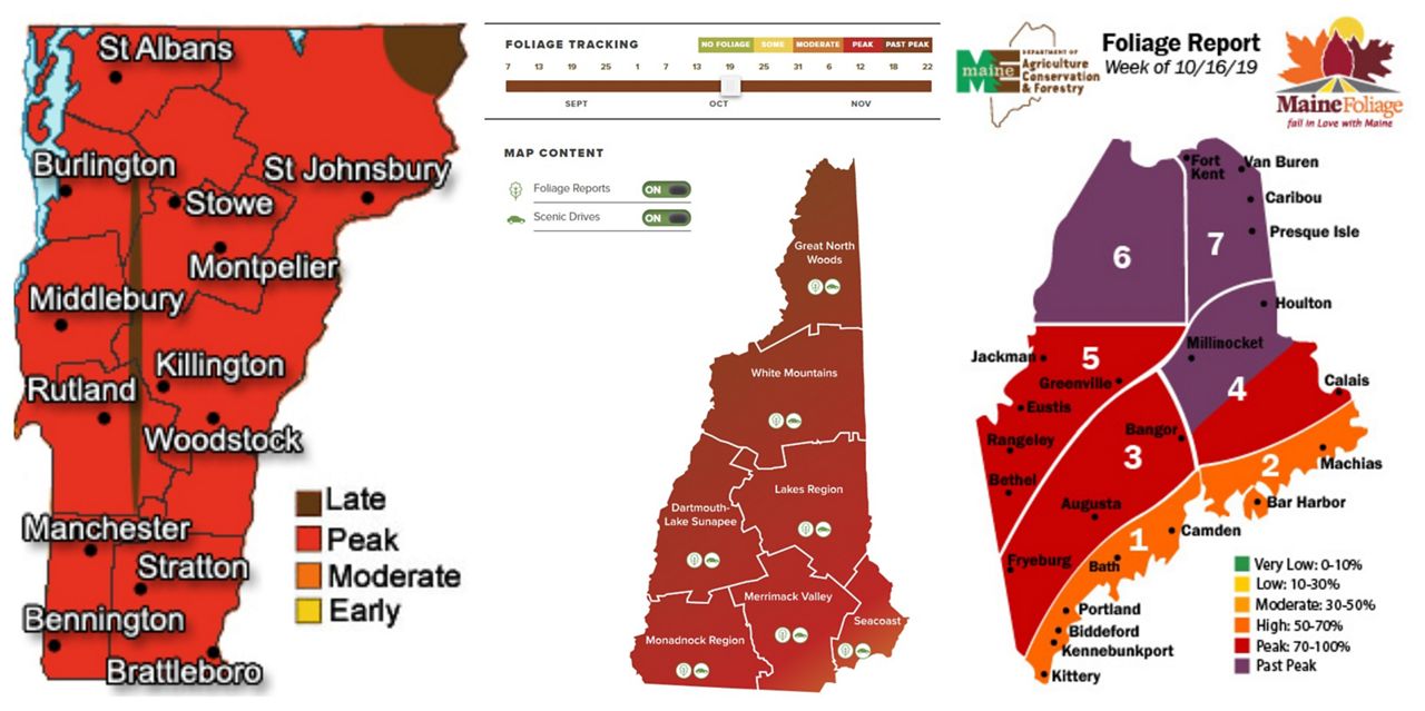
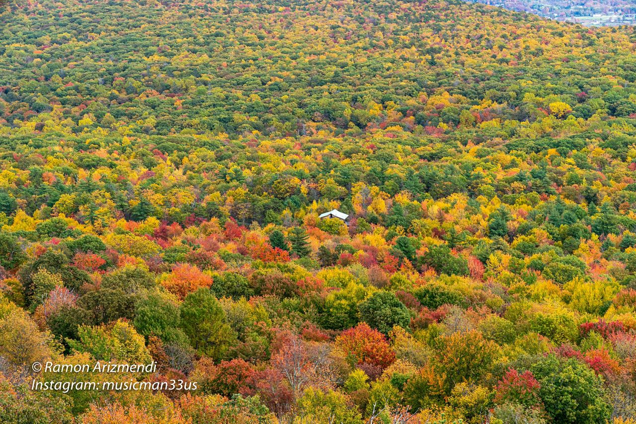
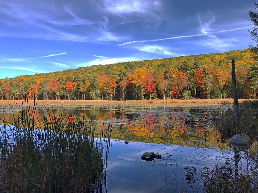
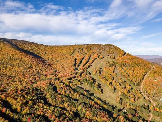
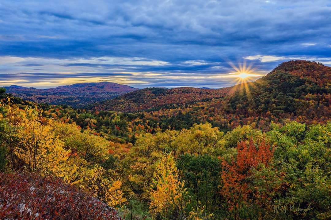
Before we check out the weekend forecast, I'd like to share some great shots from earlier this week and this past weekend that you guys sent in before the big, bad storm blew all the leaves down.

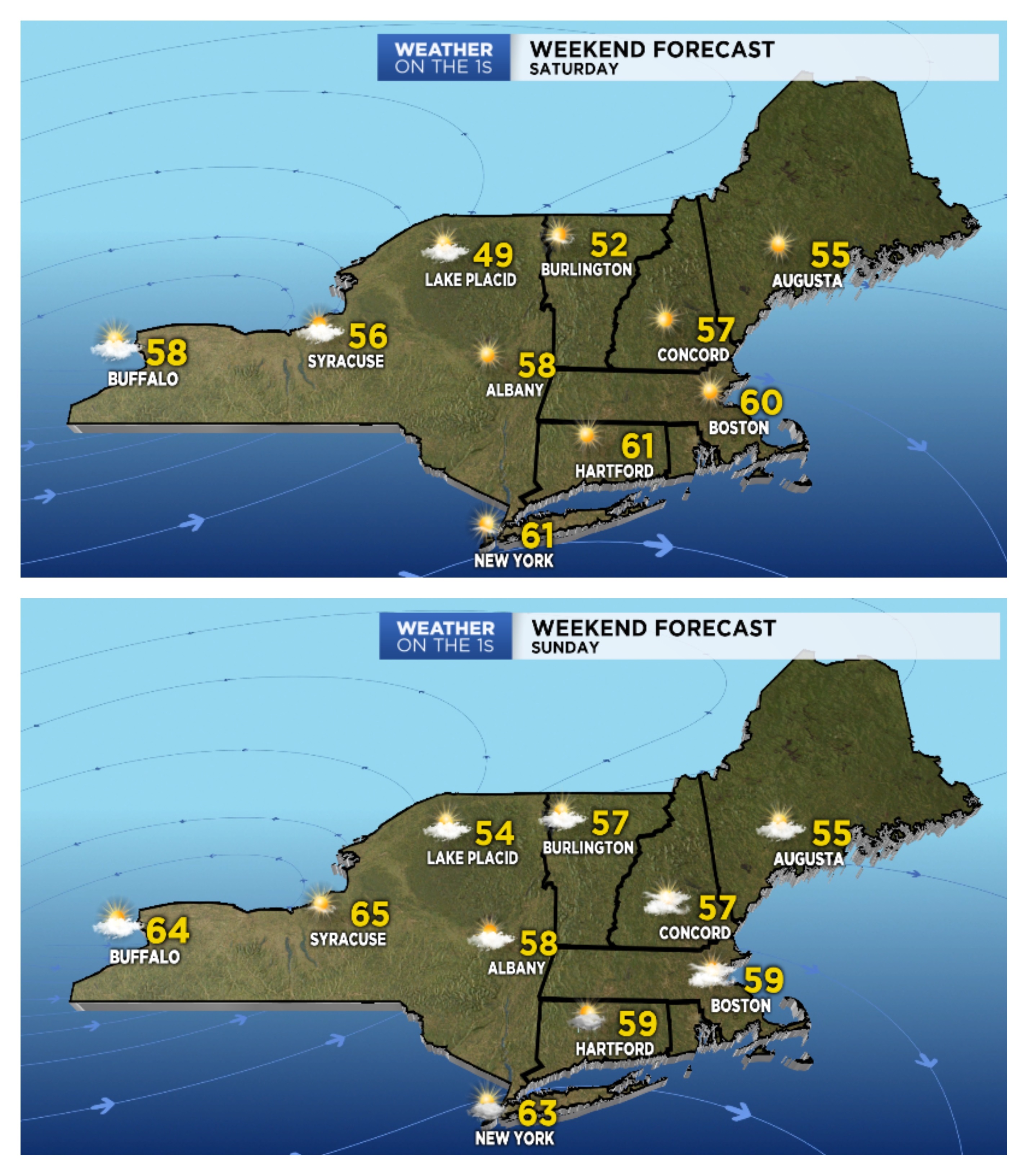
On a positive note we have another great fall weekend on tap across the northeast. Saturday will feature sun-filled skies, light winds, and seasonable temperatures across the northeast. A system moving off the mid-Atlantic coast will bring clouds and perhaps a shower to southern New England, but everyone else should see dry weather.
As always, if you have foliage pictures to share, we'd love to see them! Please share them with us on Facebook, Twitter, or send to ryan.finn@charter.com. Happy leaf peeping 🍁🍂🍃


