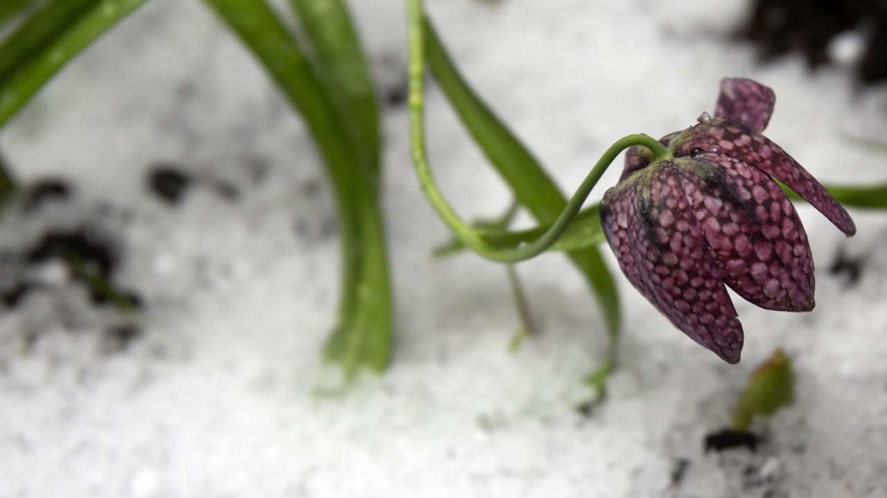
We’ve had several impressive hailstorms over the past couple of days across areas of New York State. And at other times of the year, we also see graupel and sleet, which can be confused with hail.
Thunderstorms primarily create hail when updrafts take raindrops and shoot them way up into the atmosphere where temperatures are below freezing, and the drop freezes into a hailstone.
If the updraft is strong enough as they are in strong to severe thunderstorms, the process of getting shot up in the atmosphere, falling back down and getting shot up repeats. The more it repeats, the more layers of ice and the larger the hailstone.
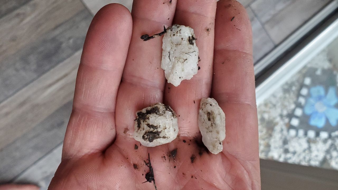
Sometimes the freezing temperature is lower in the atmosphere, such during as the past couple of days, which makes hail production even easier.
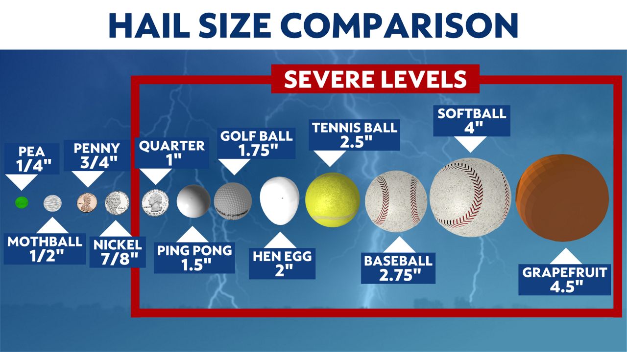
Hail is more common in the Plains and southern states, where big severe thunderstorms are more common and hailstones can get as large as softballs.
Graupel, on the other hand, is a snowflake with supercooled water condensing and freezing on it. This results in precipitation that looks like mini-snowballs, soft hailstones or Dippin' Dots. Supercooled water is liquid water that is colder than 32 degrees. Graupel is more common during the late fall and early spring months.
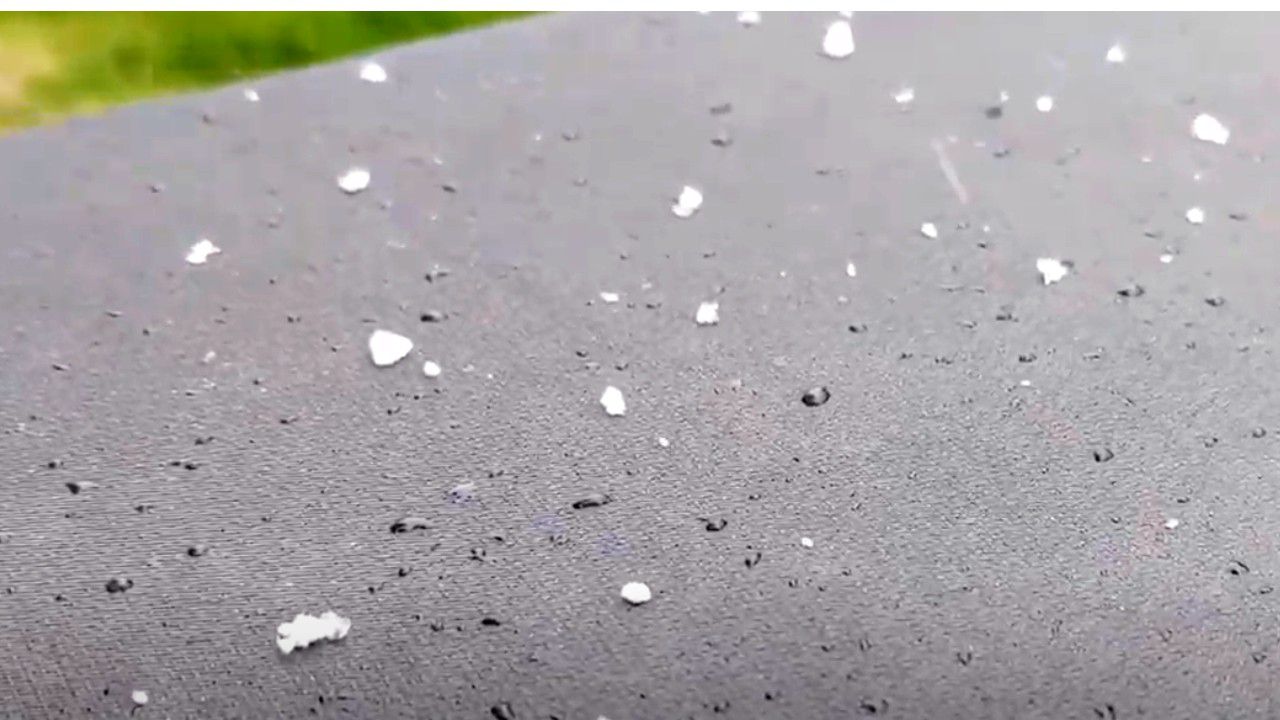
Sleet is another type of frozen precipitation that can be confused with the other two. Sleet happens when rain falls through layer in the atmosphere that is below freezing. This layer has to be deep enough to allow the rain to completely freeze as it falls through, resulting in little ice pellets.
Sleet is also more common during the colder months.
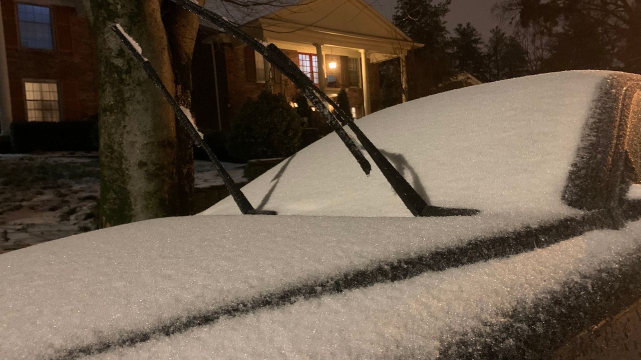
We see all kinds of precipitation here in New York State, and while they look similar, they are created in very different ways.
Our team of meteorologists dives deep into the science of weather and breaks down timely weather data and information. To view more weather and climate stories, check out our weather blogs section.


