


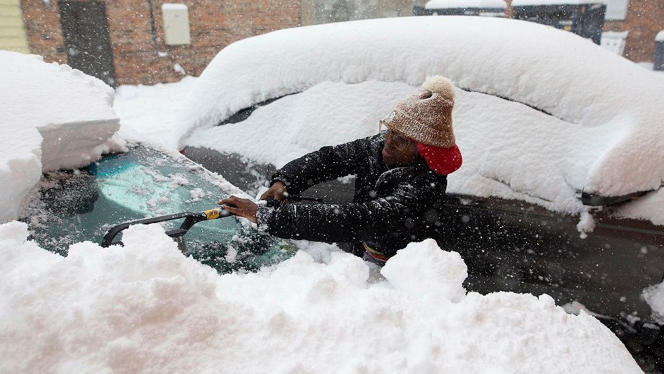
Parts of the state were already hit hard with lake-effect snow and strong winds Saturday night, but we'll see more impacts through Sunday.
Sunday will be day two of heavy lake-effect snow and we are nowhere done with accumulation. Another foot or more of snow is expected in the hardest hit areas south of Buffalo and east of Lake Ontario.
Winter Storm Warnings are in effect for parts of Central New York and for all of Western New York (except Allegany County) through at least Sunday afternoon.
For areas south of Buffalo, warnings stay in effect all the way through Monday morning. Quick accumulations from heavy snow bands will not only cause slippery roads but could lead to whiteout conditions.
In Western New York, the highest totals are expected just south of Buffalo.
)
In Central New York, parts of the Tug Hill Plateau will likely see the snow stack up the most, with lesser amounts sharply cutting off farther south.
)
Due to lake-effect snow lasting through early Monday, the state decided on Saturday to postpone the Buffalo Bills game to Monday at 4:30 p.m.
Outside of the snow, it will be bitterly cold and blustery. Highs will top out in the 10s and 20s on Sunday and Monday. With gusty conditions, it will feel more like the single digits, if not below zero.
Lake-effect snow will wind down during the early morning hours of Monday. Although all of next week it will remain frigid, with temperatures staying below average and another significant lake-effect storm looming in our near future.
Our team of meteorologists dives deep into the science of weather and breaks down timely weather data and information. To view more weather and climate stories, check out our weather blogs section.