


On warm sunny days, flooding is the furthest thing from most people’s minds.
But there's a chance homeowners could soon lose their flood insurance, or be forced to buy coverage they’ve never needed before, due to a new floodplain map.
FEMA released those new maps, which are scheduled to take effect later this year.
FEMA and the state Department of Environmental Conservation want to explain the maps before coverage changes.
They're hosting meetings across Western New York.
For people who live in newly designated flood zones, FEMA is offering a special insurance policy to protect the property from flood damage.
Called the “newly mapped” policy, it comes with a $450 price tag for the first year and increases annually.
Those who own homes in high-risk flood plains, and have a federally backed mortgage, are required to purchase a flood insurance policy.
But it’s a good idea to pursue coverage even if a home doesn’t stand in a floodplain, as FEMA said insurance is the best way to recover after a flood.
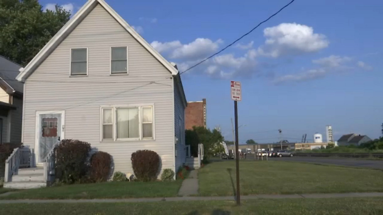
Buffalo's First Ward will see a lot of changes.
New flood zones will cost homeowners up to $1,000 in flood insurance.
"There are a lot streets just south of the community center here that are in the new floodplain map,” said Patrick Gormley, executive director of the First Ward Community Center, during a meeting with FEMA and representatives of the state’s Department of Environmental Conservation. “This community is a very blue-collar community. It’s effecting probably the lower socio-economic members of our community. So when there is an extra cost, this is going to be very impactful for home types especially for those that do not earn a larger wage."
The final FEMA meeting takes place Thursday in Hamburg at the Town Hall from 4-8 p.m.
Homeowners who have flood insurance policies are encouraged to bring them.