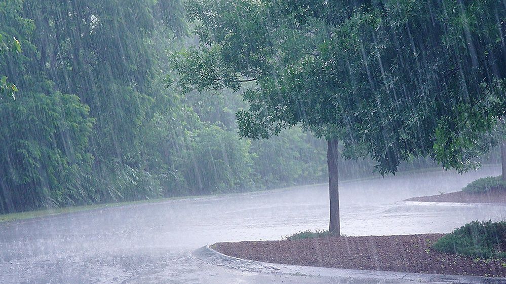
This week in WNY, we’ve seen a lot of rain BUT only for some areas. The reason? Lake breeze boundaries.
A lake breeze boundary is an area that sets up between warm air and cold air. It acts as a mini front prompting forcing in the atmosphere that trigger showers and thunderstorms.
The bigger the temperature difference is, the stronger these boundaries can become. We see these set up frequently in Western New York due to our proximity to not one but two lakes – Lake Erie and Lake Ontario.
On Monday July 27th, Medina, NY picked up 7.03” of rain in about 4-5 hours. That is A LOT of rain! The area saw flash flooding due to thunderstorms that moved over the same area again and again.
When that happens we call it ‘training thunderstorm cells.’ The only reason this happened is because storms kept developing along the boundary that set up.
On that day, the lake breeze boundary extended from Niagara Falls east through Niagara and Orleans counties.
Similarly, Wednesday July 30th, a similar boundary set up about 10 miles south of Medina. The reason for the shift south of that area was a difference in wind direction from Monday. This provided Lockport, NY with a little over an inch of rain in about one hour.
Severe thunderstorm warnings were issued and along this same boundary and an EF0 tornado developed in southern Monroe County (south of Rochester). The reason we saw less rain than the same set up Monday is because these thunderstorms moved some as they redeveloped...no training.


