Winds will gust between 50 and 70 mph at times overnight and into Monday. With winds that strong, downed trees/power lines and power outages are possible and to be expected.
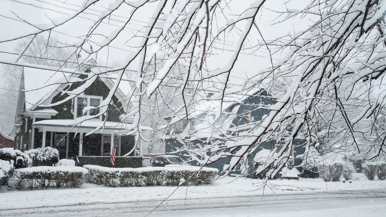
Snow showers continue overnight and then lake effect/lake enhanced snow should become better organized east of Lake Ontario overnight. Within the most persistent snows, we're looking at 4 to 8+ inches of accumulation tonight (especially focused on and around the Tug Hill). While this isn't necessarily a significant amount of snow, the sustained strong winds will produced significant blowing snow, resulting in whiteout/blizzard conditions and make for hazardous/impossible travel conditions over parts of Jefferson, Lewis, Oswego and Oneida Counties.
Not much improvement is in store for Monday with those strong winds still in play and snow showers/lake effect snow. Temperatures will be in the 30s, 20s and 10s and many of us will lose ground throughout the day.
The forecast does call for quieter weather to develop on Tuesday but colder than average temperatures stick around most of the week.
There are also several flight delays which you can view here.