
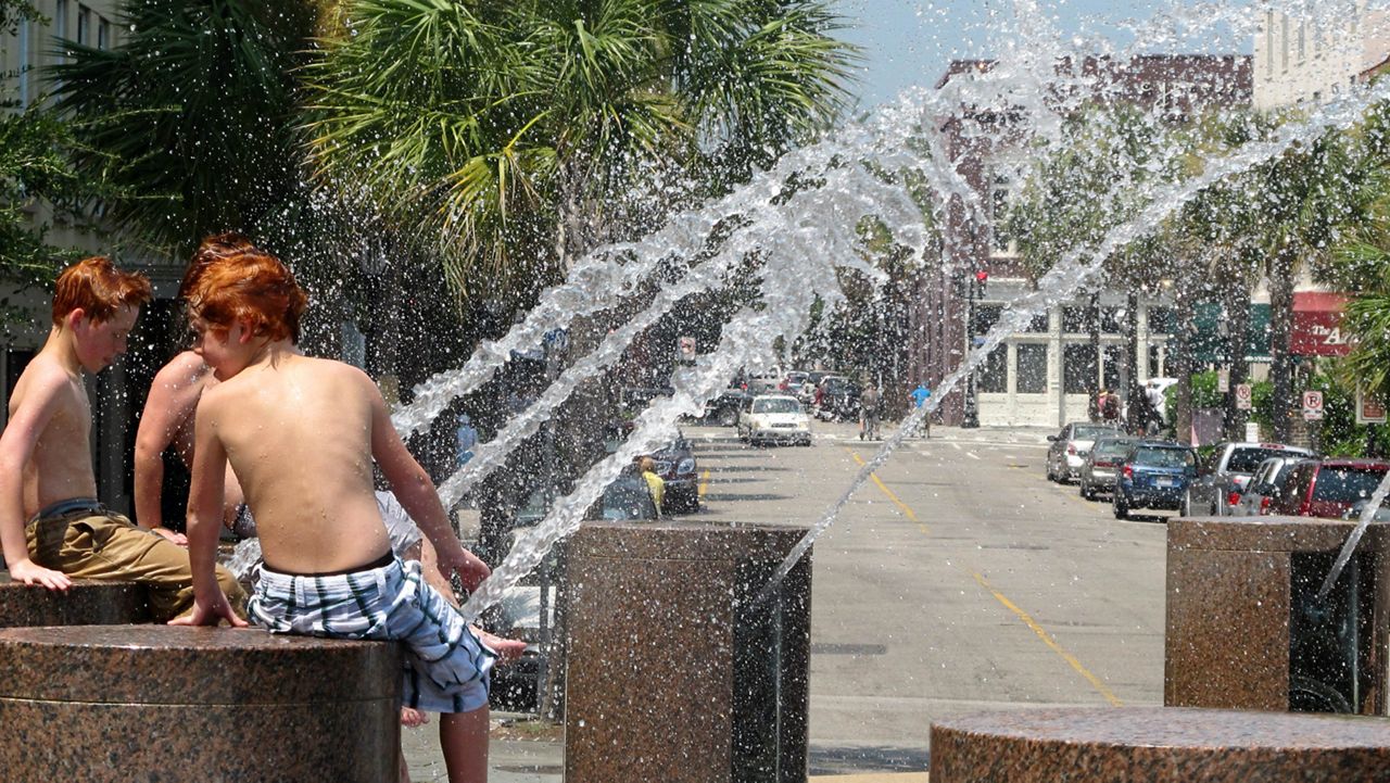
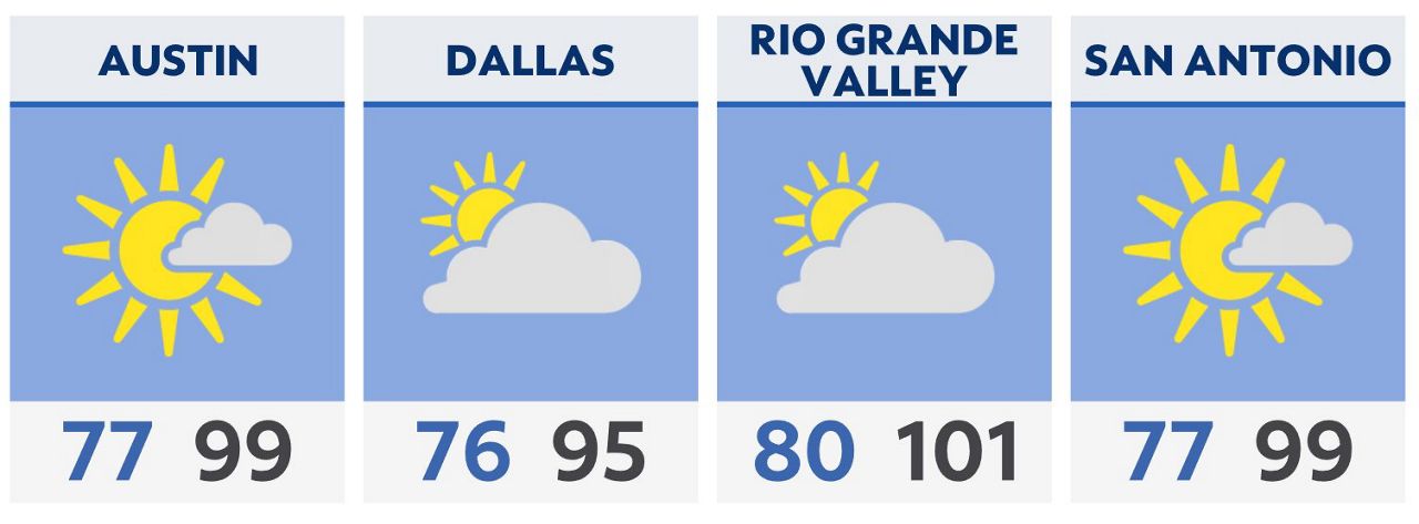
Heat remains the main story for much of Texas for our Saturday. Highs will be in the 90s to triple digits with Heat Index values well into the triple digits
Little relief in the way of rainfall Saturday as the ridge of high pressure is strongest today. However, the pattern begins to change some going into Sunday, especially for North Texas and the Metroplex.
Severe storms look likely Sunday evening for Dallas – Fort Worth with damaging wind the main threat. Rain chances then begin to increase after Monday from Austin to San Antonio.
The RGV will begin to see some isolated rain chances by Wednesday, while El Paso stays mostly dry and hot through Wednesday.
Tropical Outlook: The Atlantic and Gulf is quiet for now with no tropical development likely for the next five to seven days.
Click here for the latest 7 Day Forecast | Click here to share your weather photos