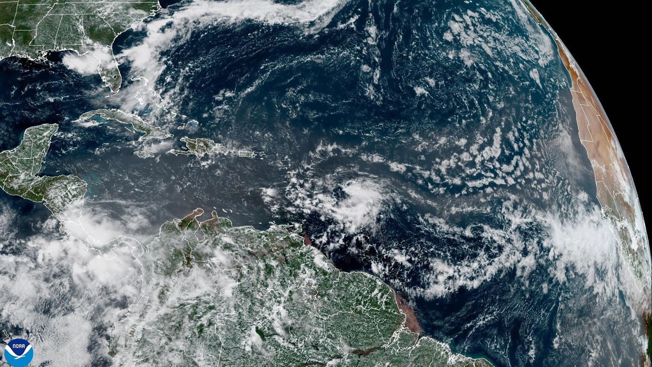
I hope you enjoyed Wednesday's sunshine and highs in the 70s! Changes are ahead in our weather over the next couple days that will include more clouds, light rain, and eventually much cooler temperatures.
- 7-day forecast
- Share your weather photos with Meteorologist Lee Ringer on Facebook
- Follow Meteorologist Lee Ringer on Twitter
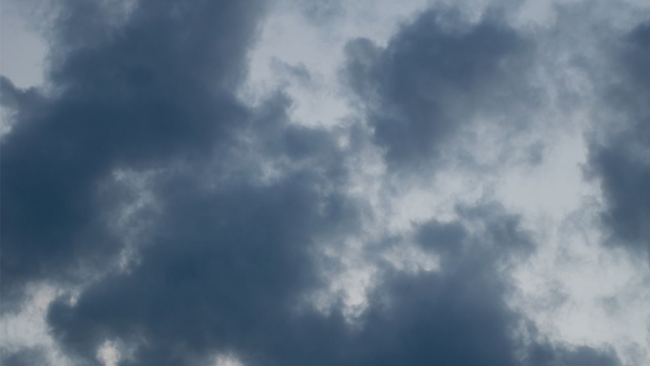
Much of the day Thursday will be dry, but we will see mostly cloudy skies through the day. Temperatures will top out just in the low and mid 60s in the afternoon.
From late Thursday night through the day Friday, spotty light showers and drizzle will be possible at times. All of central North Carolina should see less than a quarter of an inch of rain during that time. Many locations will end up with a tenth of an inch or less. High temperatures will range from the mid 50s in the Triangle to the upper 50s to near 60 south and southeast of Raleigh.
Cloudy skies over the region finally clear by sunrise Saturday morning. That will allow for plenty of sunshine for both Saturday and Sunday. High temperatures both weekend days will only warm to the low and mid 50s.
Saturday morning's lows will be in the 40s. Sunday will be colder with temperatures around 30 at sunrise. For most locations in central North Carolina, that will bring the first freeze of fall and end to the growing season.
Below average temperatures will continue through most of next week. Rain will return to the forecast from Monday afternoon through Tuesday when one to two inches of rain is now expected.