


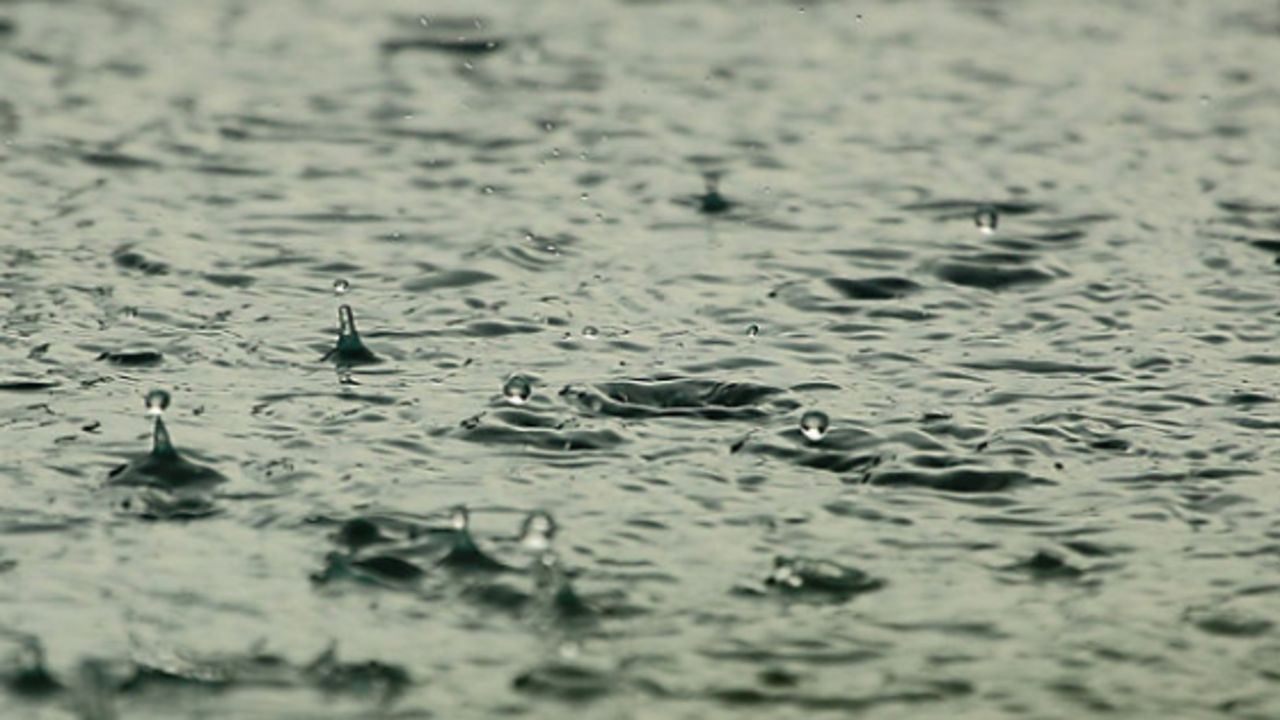
Periods of rain will pass across the region over the next two days. Now, while most showers will remain light to moderate, a heavier downpour will be possible from time to time. A cold front will then clear the region by late Tuesday evening pushing the rain out of the region by mid-week. Meanwhile, cold air will remain in place for central NC through Monday. That means rather chilly temperatures can be expected, but they will remain above freezing. So, no wintry weather! A warm front will lift northward over the I-40 corridor on Tuesday, and at that point temps will increase.
Drier weather is expected for mid-week along with pleasant daytime highs. Then, another shot of rain is possible on Friday. Colder weather is then set to arrive for the upcoming weekend.