After a day of full sunshine across western and central North Carolina Tuesday, overcast skies and showers will resume across the region to end out the month of February.
While most areas will begin the day dry, chances for showers will ramp up by this afternoon across the area as a warm front across the Deep South begins lifting to the north.
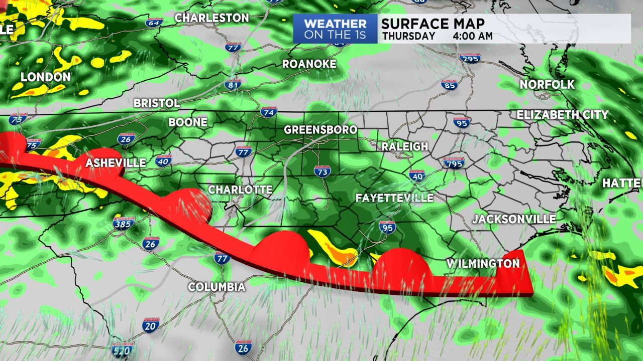
Showers during the day Wednesday will transition to periods of heavy rain overnight with the passage of the actual front.
Due to the abundant cloud cover, temperatures, while right around average, will be a bit cooler than previous days. Highs will top off in the mid to upper 50s across the Piedmont with mid 40s in the mountains.
The Piedmont will briefly watch rain taper off from south to north by Thursday morning before another line of rain moves in ahead of a cold front expected to sweep the area Thursday afternoon.
Following this front will be much cooler, but drier air.
Other than the potential for a few upslope snow showers in the High Country into early Friday morning, sunshine will make a fast return and stick around through the weekend. Winds, however, will be gusty Friday, particularly in the mountains, where gusts between 50 to 60 mph will be possible.
Get the latest news, sports and weather delivered straight to your inbox. Click here to sign up for email and text alerts.
)