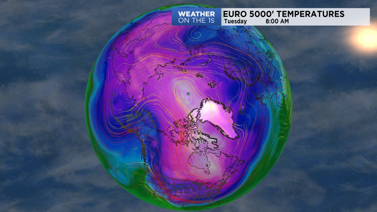
A frigid airmass is in place across the region and, in spite of lots of sun today, our local highs will struggle into the lower 30s.
In fact, some of our foothill and Virginia border areas could remain in the upper 20s this afternoon. Lows will then tumble into the teens again tonight.
We will be a little milder tomorrow and a little milder still Saturday, but then the bottom falls out, temperature-wise. Highs look to at best be in the low to mid 30s Sunday through all of next week, and we will have many mornings with lows in the teens.
There is the potential for some even colder temperatures about one week from now, but that depends on the specifics of the pattern which, at this point, are still difficult to resolve.
A little light wintry mix is possible tonight along the lower South Carolina and upper Georgia coasts, but our area will remain cold and dry. I expect the potential system in the Sunday-Monday range to remain pushed to the south of us as well.
I am watching another potential system around the middle of next week, but it remains very low-confidence as of now.


