

WILMINGTON, N.C. — Something about severe weather preparedness week makes people think hurricanes, and rightfully so, but the coast has long been fighting inland flooding that flies under the radar as a weather event.
Roger Shew, a senior lecturer in the Department of Earth and Ocean Sciences at UNC Wilmington, has lived in two of the three most flood-prone states in the country – Louisiana and North Carolina. His research looks at how everything is tied together from sea-level rise and high tides in low-lying coastal areas like New Hanover and Brunswick counties.
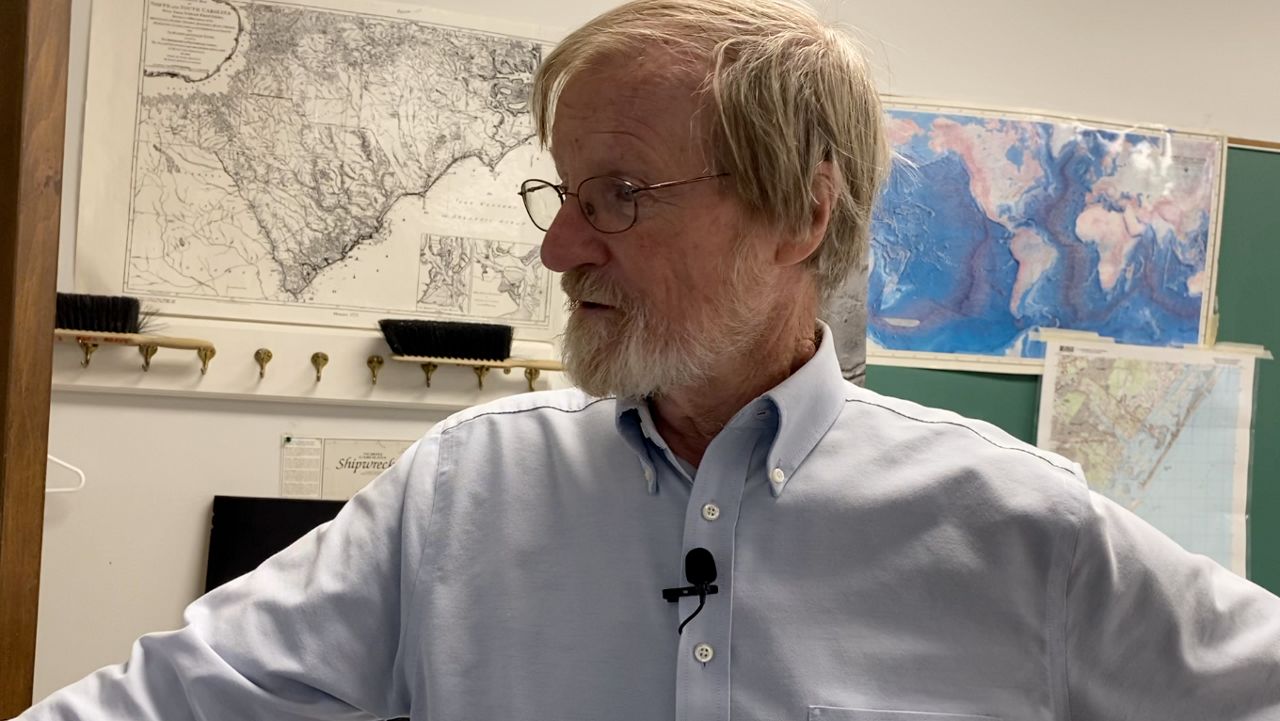
“One of the big things for us in southeastern North Carolina but also in the whole southeast in the country is what we've been seeing in a climate change indicator is increased precipitation,” Shew said. “The compound idea is what's really important — one thing leads to the other. I've got additional sea-level rise, that leads to additional high tide flooding, that leads to additional impacts on our coastal regime.”
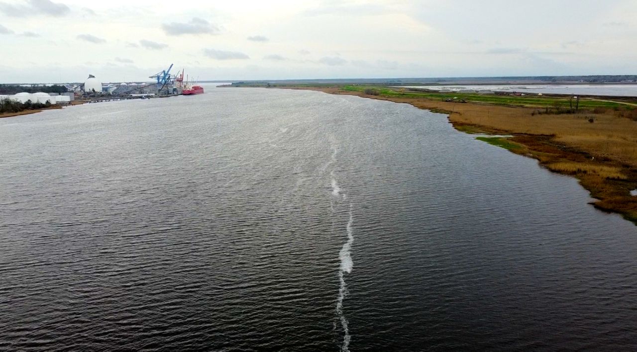
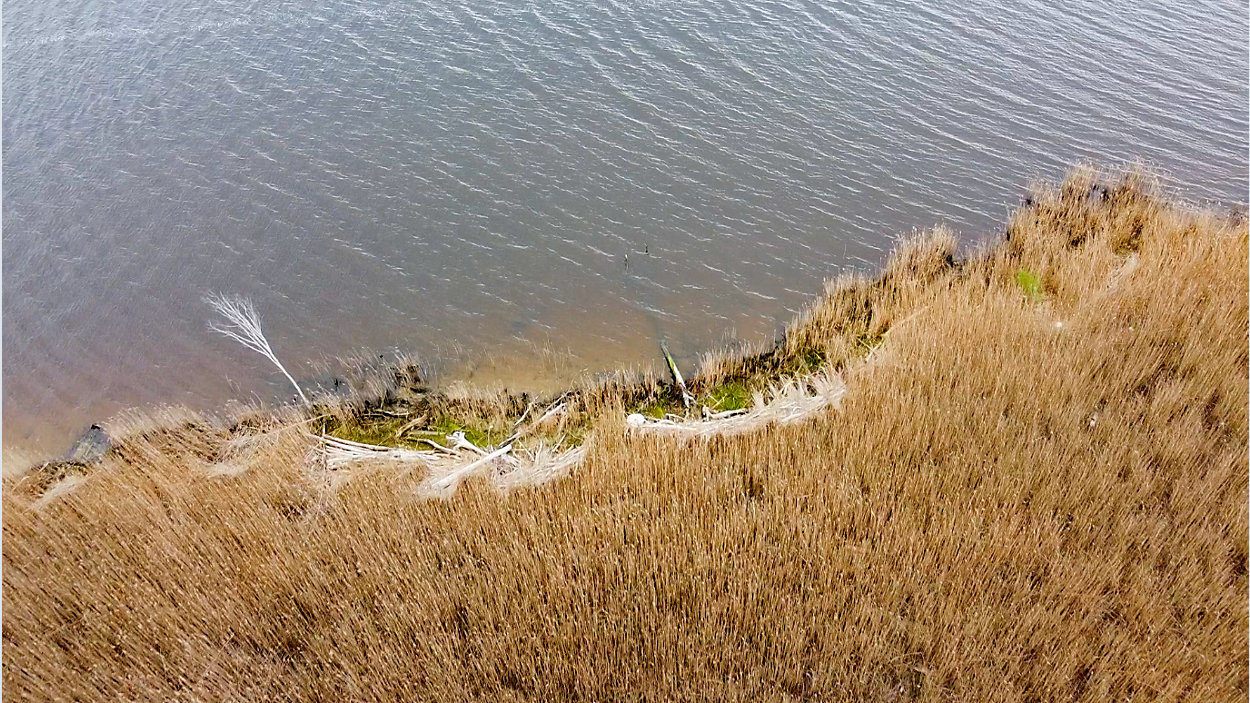
The Cape Fear River frequently exceeds its banks in any type of high tide, whether Wilmington has seen heavy rain or not. Maintaining a natural wetland marsh barrier along the banks of the river is one of the best ways to protect nearby infrastructure.
“You have to live with the water and living with the water means you don't fight it,” Shew said. “But when you get in the way of it, mother nature has a way of winning.”“You have to live with the water and living with the water means you don't fight it,” Shew said. “But when you get in the way of it, mother nature has a way of winning.”
“Sunny day flooding” has become an increasingly common occurrence on Eagle Island – home to the USS North Carolina. On multiple occasions water has encroached onto the land enough to close roads and hurt the surrounding ecosystem.
“This is what we saw on Jan. 3 of this year — 2.35 feet — and it got barely into the moderate flooding category,” Shew said. “In 2050 to 2060 this is what it's going to be all the time.”
This is not a problem we can eliminate, but with the knowledge provided by scientists like Shew, we can better prepare to live with the water that surrounds us.
“Low-lying coastal ecosystems are going to suffer submergence and loss because of that rise,” Shew said. “Just knowing what those things are provides us an opportunity to try to be smarter. We just need to be smarter in how we develop or not develop in some of these areas.”