A major winter snow storm hit the St. Louis region on Sunday, dropping anywhere from eight inches of snow to over a foot of snow.
This is not only the biggest snow event of the season, but the most snow from a single storm in several years. By Monday morning, the St. Louis Lambert International Airport had accumulated 8.5 inches. Whereas, the National Weather Service (NWS) office in Weldon Spring, Mo. picked up 12.7".
NWS St. Louis Meteorologist Marshall Pfahler says, "The last storm with ≥8" was a winter storm on Jan 11–13, 2019 (11.4")," so nearly six years since our last big storm.
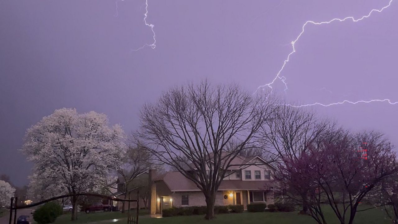
Accompanying that heavy snow included flashes of lightning and thunder. Parts of the region experienced the phenomena of thundersnow. While not completely rare, it’s not something observed with every snow event.
Lead Meteorologist Matthew Beitscher at the National Weather Service in St. Louis explains, “Thundersnow is caused by convective elements within banded snow leading to similar processes to thunderstorms."
Ice crystals exist in a cloud, and just like in a thunderstorm, these ice crystals colliding in the cloud create a separation between positive and negative charges. If enough collisions occur, a static build-up will happen and discharge, thus producing lightning. The same happens when you rub your feet over the carpet, generating enough energy to create a shock or spark.
The snow muffles the sound of thunder, creating more of a low rumble rather than a loud crack. Thundersnow was reported in St. Louis and St. Charles counties just after 12 p.m. on Sunday.
Our team of meteorologists dives deep into the science of weather and breaks down timely weather data and information. To view more weather and climate stories, check out our weather blogs section.
)