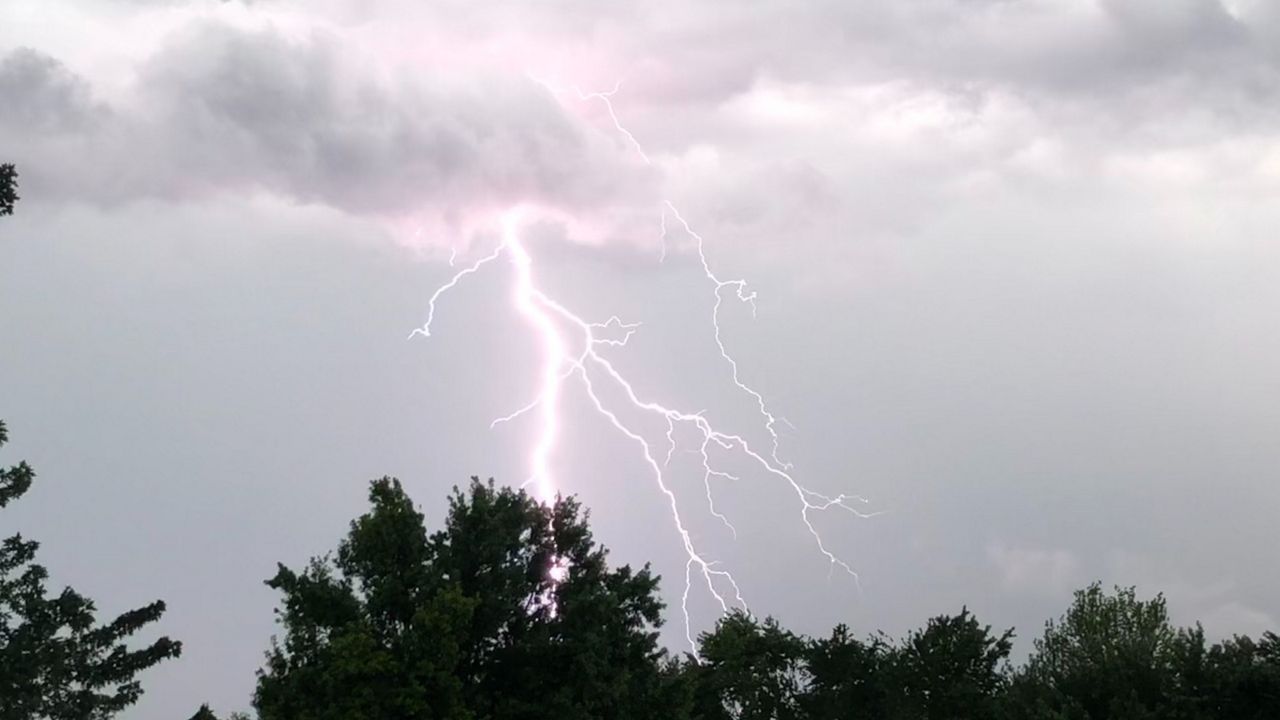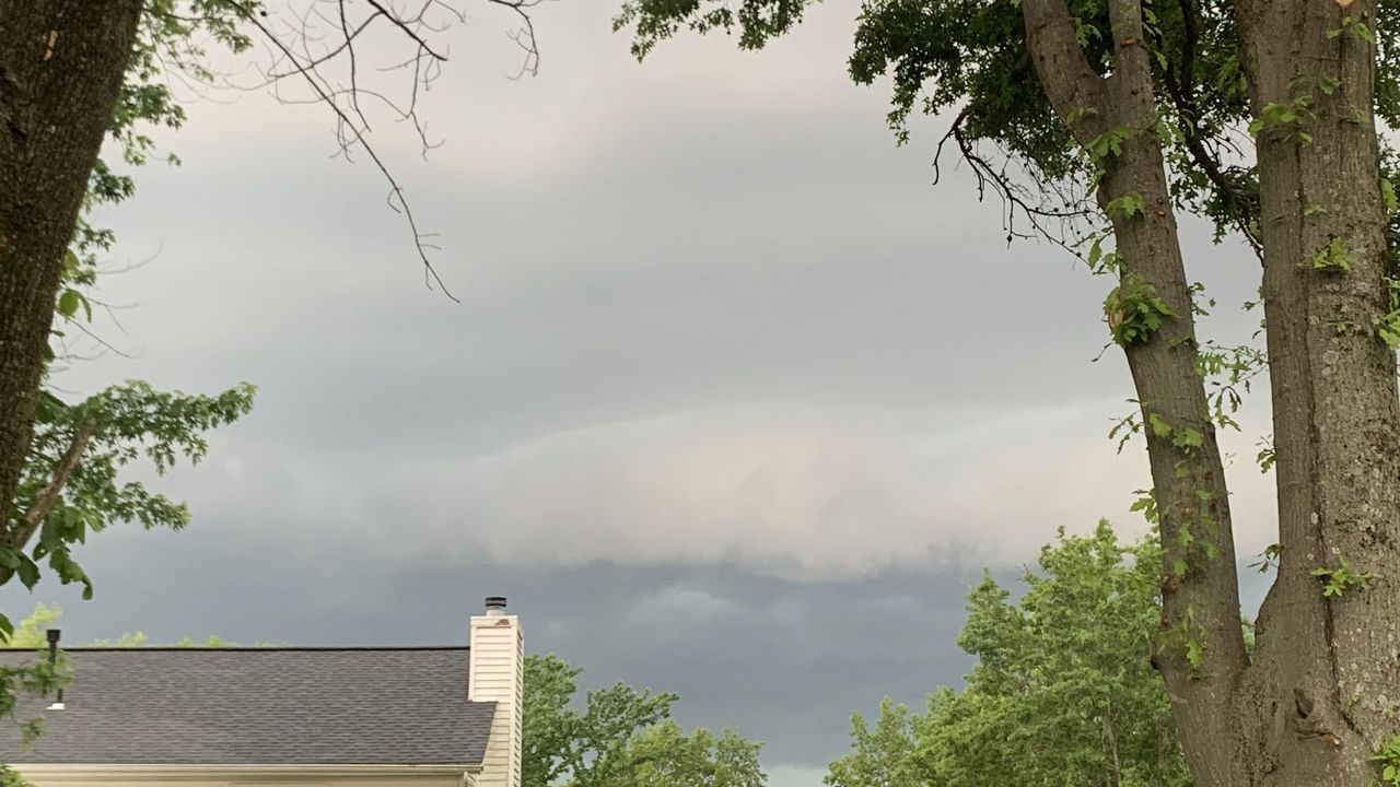
We’re kicking off the week with unsettled weather. A few rounds of storms will pass through today and tonight bringing the potential for all modes of severe weather.
A Tornado Watch has been issued across central Missouri, including St. Louis until midnight. The watch for the Kansas City area has been cancelled. A Tornado Watch means that environmental conditions are favorable for tornadoes.

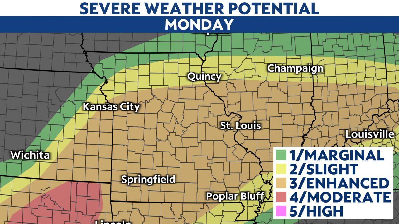
The Storm Prediction Center has issued an enhanced risk (level 3/5) for severe storms capable of producing damaging winds, large hail and a few tornadoes across south and central Missouri, including St. Louis and Kansas City.
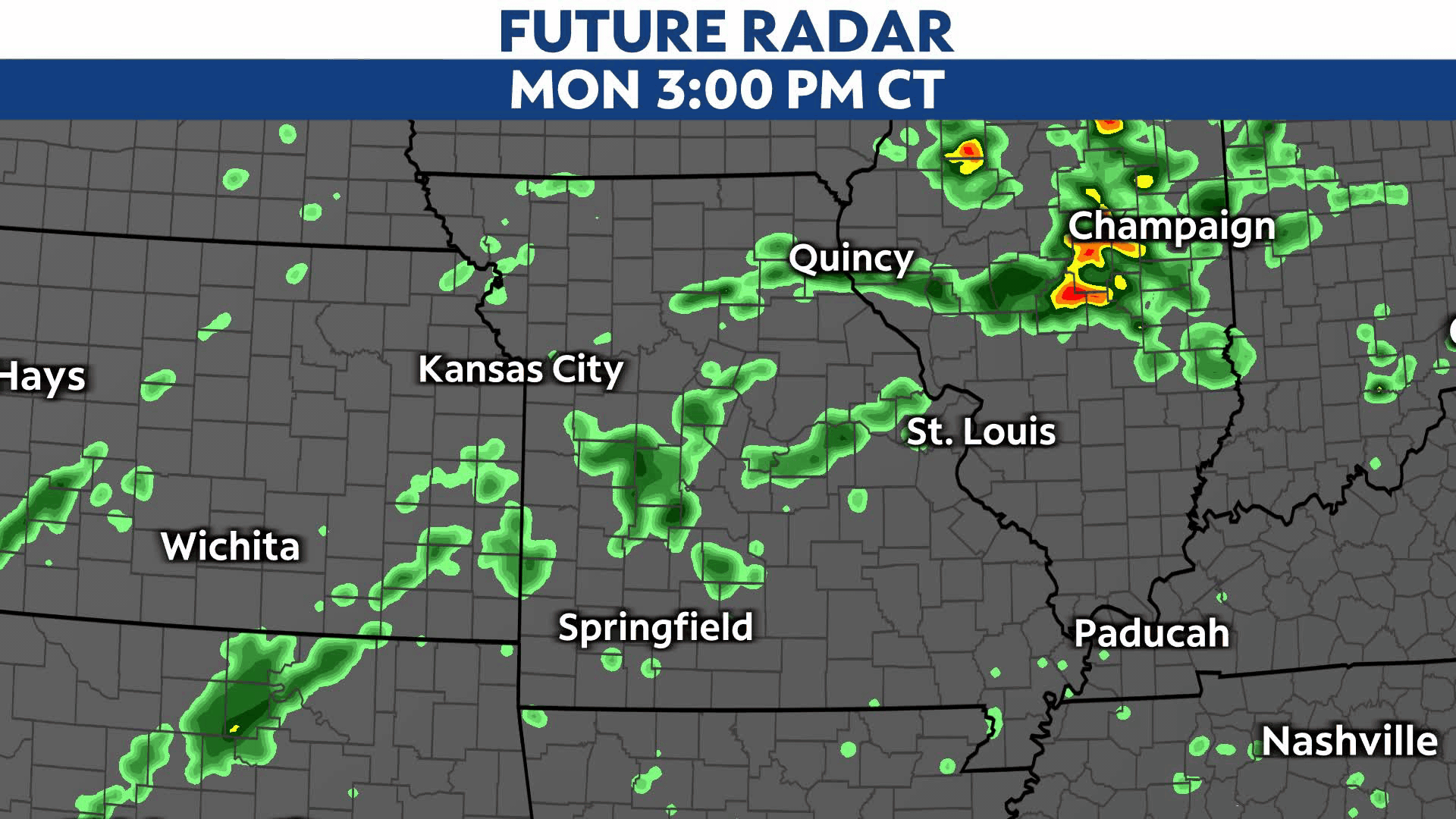
A warm front lifted into the state this afternoon and some spotty storms could develop along it. Any isolated storms that develop along the front will have tornado potential. The scattered storms this afternoon could affect Kansas City and St. Louis.
Another round of storms will move in from the west this evening into the early overnight hours, mainly south of Kansas City. These storms will move east across the state this evening toward St. Louis tonight, and also bring the threat for damaging winds, large hail and tornadoes.
If more storms develop early, it could limit instability for tonight’s severe threat. This scenario could dampen the local severe threat and make any afternoon storms weaker.
If less storms develop this afternoon and it’s drier with any sunshine, severe are more likely tonight and capable of producing all types of severe weather.
Regardless of which scenario, storms coverage will be more widespread later this evening into tonight. Be sure to download the Spectrum News App and turn on notifications to receive updated severe weather alerts.
Our team of meteorologists dives deep into the science of weather and breaks down timely weather data and information. To view more weather and climate stories, check out our weather blogs section.