ST. CHARLES, Mo. — A hidden gem exists in St. Charles, Mo. Visitors can explore parts of the county from a unique waterway. Now, there are five more miles people can explore along the Dardenne Creek Blueway.
Andy Fleck, Assistant Director of St. Charles County Parks, couldn’t be more excited about this project. The first of five phases of the Dardenne Creek Blueway opened in 2022 and took visitors for a 3.5 mile trip the along Dardenne Creek from Riverside Landing Park in St. Charles to Lakeside 370 Park in St. Peters.
The second phase adds 5.2 miles to the Blueway, connectingn Lakeside 370 Park to Lone Wolff Park, just off Main Street in St. Peters.
Future expansions will eventually connect the Dardenne Creek Blueway to three more parks in St. Peters, O’Fallon, and Dardenne Prairie.
The current drought situation in St. Charles County has little bearing on the water level of the blueway. Fleck explains, “With the Mississippi River in such proximity to the blueway, it feeds the creek.”
He adds, “A greater concern would be flooding along the Mississippi as we saw during the spring with snowmelt upstream.” High water levels could prompt the closure of the blueway.
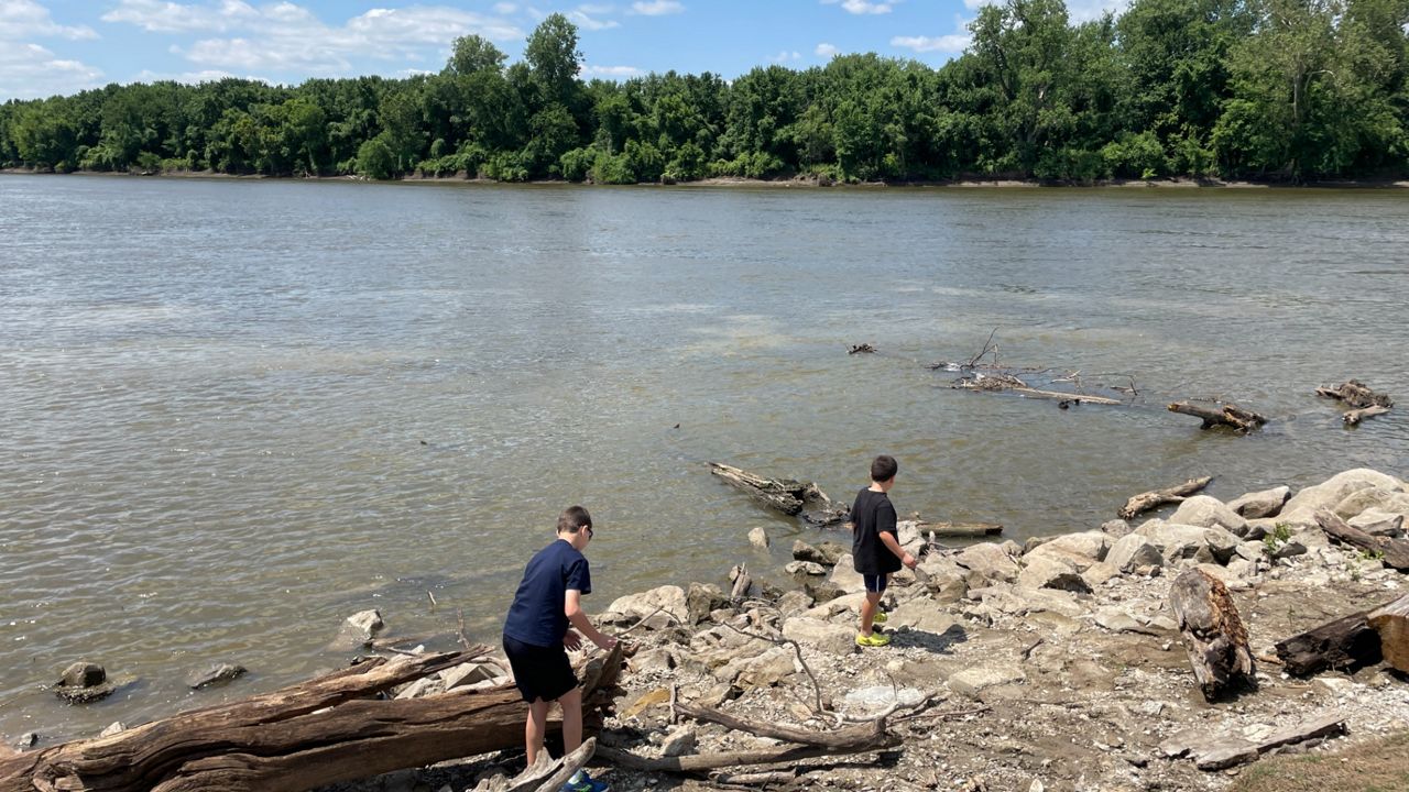
The best way to use the blueway is on a non-motorized boat, kayak, canoe or even paddleboard. Debbie King, who lives in Troy, Mo. explored this new multi-activity path. She and her family went because it wasn’t too far.
“We decided to go to the Blueway because it was close and figured it had more water than Cuivre River by our house.” They first ventured to the access point at Lakeside 370 but found the water there was too low.
Fleck acknowledges that the Sanford Creek access point at that location is an area prone to low water since the Mississippi does not feed directly to it. To remedy this, they expect a new access point to open along Dardenne Creek, at the park.
Visitors don't need to have their own boat to enjoy the Blueway. Self-serve watercraft rentals allow guests to reserve a kayak online. The cost ranges from $20-$30 for a two-hour session.
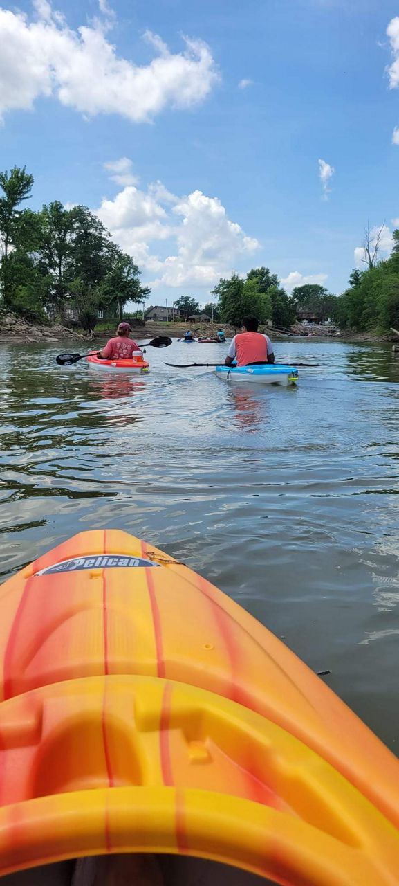
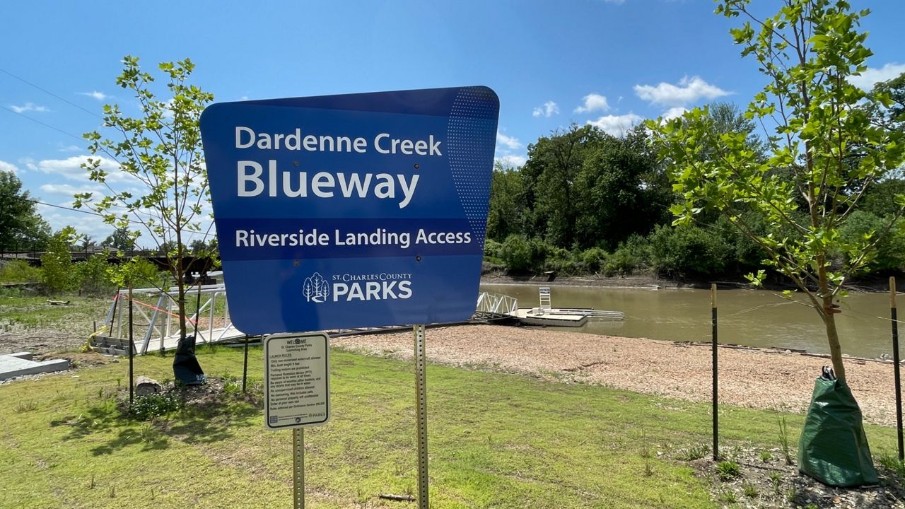
It did not deter King and her family. They drove to Riverside Landing Park, where Dardenne Creek meets the Mississippi River to launch their kayaks.
“It was a beautiful float until my 15-year-old tipped over. We managed to get him back in his kayak and on our way. It was pretty, quiet and close to home. We plan to go back this year.”
Fleck reminds visitors that the current on the water can be unpredictable. Conditions on the water can change quickly because of weather upstream or debris in the water. The current can be unpredictable, especially near the Mississippi at Riverside Landing.
When all is complete, the Dardenne Creek Blueway will stretch around 19 miles long.
Our team of meteorologists dives deep into the science of weather and breaks down timely weather data and information. To view more weather and climate stories, check out our weather blogs section.


)

)