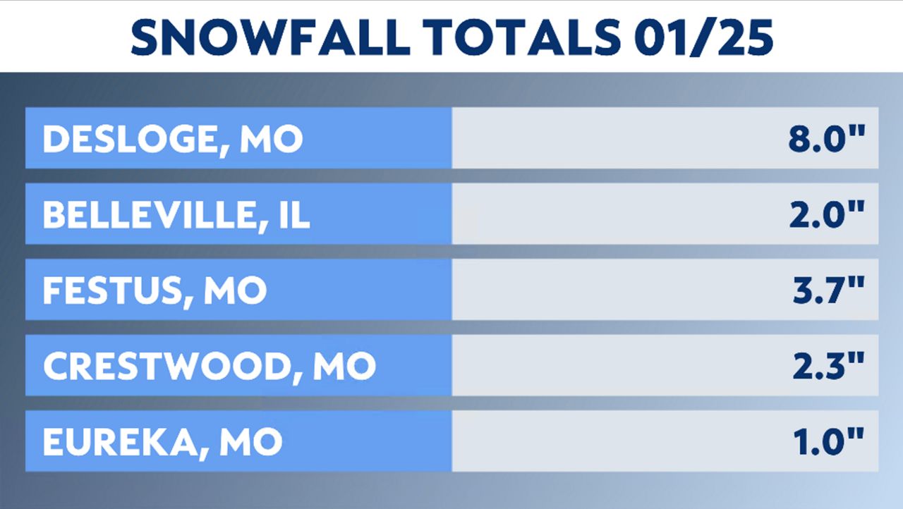
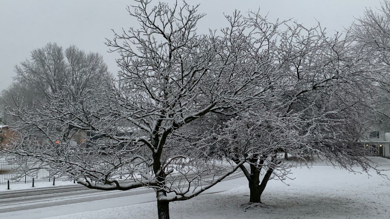
We had snow overnight across the region, with the heaviest accumulations south and east of the metro.
Winter Weather Advisory is in effect for St. Louis and surrounding counties through Wednesday.
The storm system will pull away from the region this morning, tapering snow to flurries by mid-morning. Some minor accumulations are possible.
As the storm system approached overnight, it began as rain and then transitioned over to snow. However, with temperatures just above freezing, the initial chageover to snow didn't quite pull all of the cold air from higher up in the atmosphere to the surface, resulting in rain mixing back into the region.
This reduced accumulations by several inches. Totals were greatest south and east of the metro with 5-7 inches. Around the metro, totals were closer to 1-2 inches.
Snow forecasting in this region is difficult. Factor in marginal temperatures and a slight shift in the track and that alters snowfall amounts.

The region saw a minor snow event back in November, receiving 0.8 inches of snow. A month later, another 1.8 inches was measured on Dec. 22, along with 0.3 inches that fell on Christmas Day.
This adds up to only 2.9 inches for the entire season. Our seasonal snowfall totals should be closer to 7 inches by this time.
January started warm, with most of the days so far seeing above-average temperatures. Climatologically, what should be our coldest time of the year has been anything but cold this year. We’ve seen four days above 60 degrees and even one day where the mercury rose above 70 degrees.
The average high for the month of January is around 40 degrees. We’ve surpassed that value almost the entire month, except for a few days.
Our team of meteorologists dives deep into the science of weather and breaks down timely weather data and information. To view more weather and climate stories, check out our weather blogs section.


