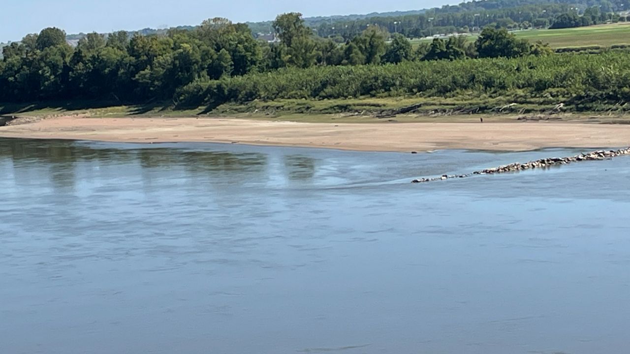
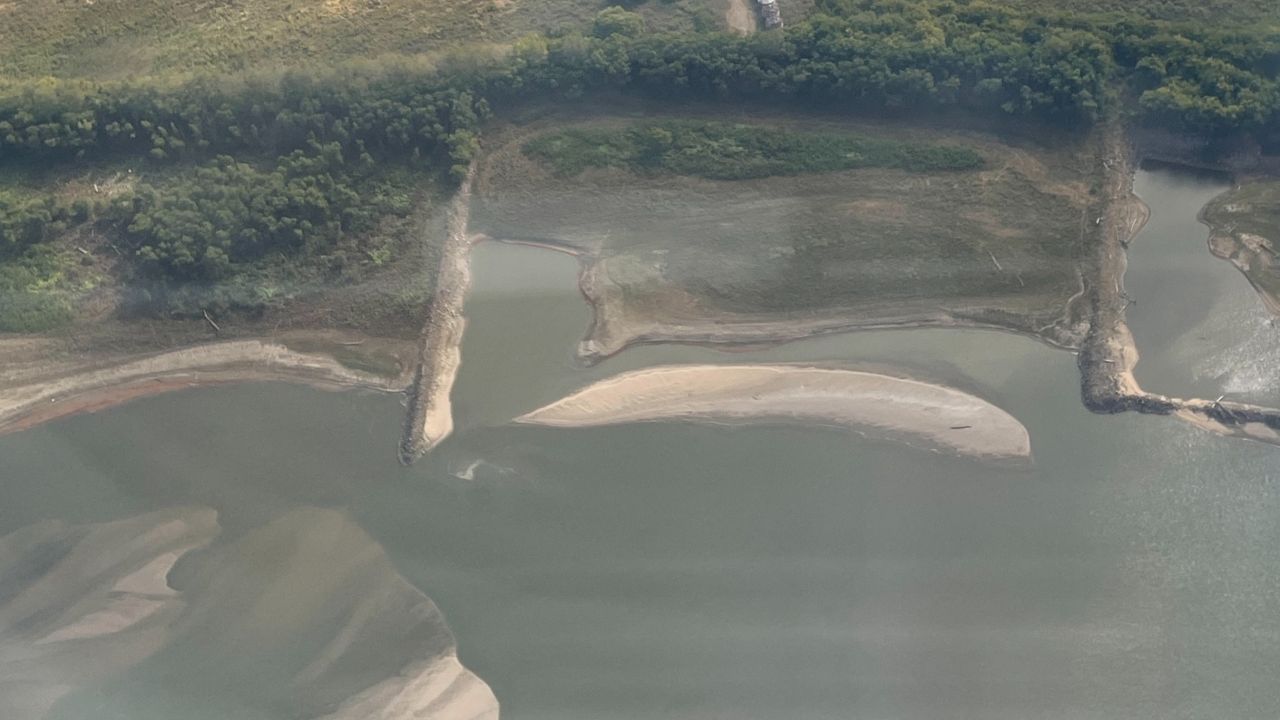
ST. LOUIS – With no drought concern in the St. Louis region, the water levels along the Mississippi and Missouri Rivers still appear low. In most cases, river banks have now crept into riverbeds.
Two important factors affect the river depths in the area: dredging induced by the St. Louis Army Corps of Engineers and rainfall upstream from areas in Minnesota and Wisconsin.
Senior service hydrologist Mark Fuchs, with the National Weather Service–St. Louis, Missouri, explains that the winter months observe lower water levels than other times of the year.
As of Dec. 8, “The Missouri River at St. Charles is at 6.56 feet. The Mississippi River at St. Louis is at 0.28 feet.” Adding, “Both rivers are typically low this time of the year, but they are a bit lower than usual, though neither river is near historic low levels.”
To put it into perspective about the record level low stages of the river, one must consider the concept of dredging. “The Corps does a lot of dredging to these levels to keep navigation going.”
Fuchs explains, “When you dredge, you deepen the river, allowing more water at lower stages." Comparing to the record lowest stage of -6.2 feet in January, 1940, no level in the past 10 years has come close.

As winter sets in, concerns about freezing inflows across Wisconsin and Minnesota arise. “Right now, I think most of these rivers are still flowing. So ideally, you would like rainfall (rather than snowfall) to add inflow above St. Louis.”
For the Missouri River, scheduled seasonal reduction of flows at Gavins Point Dam has taken place over the past few weeks, meaning tributaries feeding this river become even more important.
Both the Missouri and Mississippi Rivers transport commodities along their waters using barges. Back in September, barge traffic was being limited along the Mississippi River to 25 barges, restricting the unloading of grain barges by 39% in New Orleans.
By October, parts of the Mississippi River and its tributaries shrunk to record low levels because of worsening drought conditions upstream. This caused the shipping industry to a halt, limiting traffic through shipping channels.
Emergency dredges were dug, so barges could continue to travel through the river to ship goods like agricultural products and oil.
A 9-foot shipping channel must be maintained from Baton Rouge, La., to Minneapolis, Minn., to move goods along the Mississippi River, says the Army Corps of Engineers. We need an even larger channel for ocean vessels to access ports in the lower Mississippi.
Next week, forecasted rain from northern Iowa to along the Wisconsin-Illinois border looks promising to produce at least a half of rain for both the upper Mississippi and lower Missouri basins, with possibilities of over 2 inches by week’s end.
However, some of this precipitation may end up falling as snow, which would not help the current water levels. Fuchs clarifies, “That help might not arrive until it melts, perhaps not until March or April.”

Our team of meteorologists dives deep into the science of weather and breaks down timely weather data and information. To view more weather and climate stories, check out our weather blogs section.


