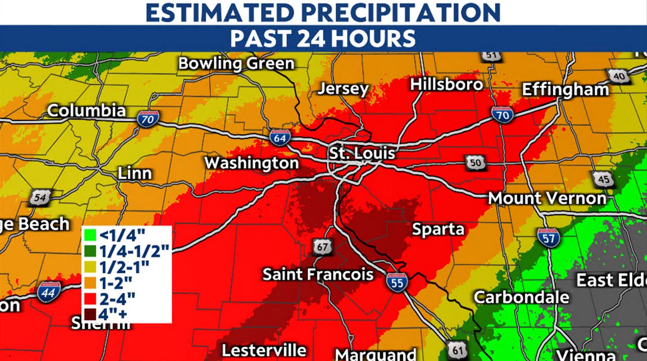
ST. FRANCOIS COUNTY, Mo.— Rain began falling Sunday evening across east central Missouri with the highest accumulations occurring in St. Francois and Ste. Genevieve counties Monday morning. As of Monday afternoon, over six inches of rain has fallen in that region, putting the levee near Iron Mountain Lake in danger of failing.
A warm front lifted north of the region late Sunday, providing warm, moist air and setting the stage for moisture to stream in from the southwest. As a cold front approaches, the atmosphere remains primed to produce rain.
This setup led to multiple waves of rain and embedded thunderstorms. While a welcome relief to this drought-stricken area, the rain is falling too quickly and producing flooding.
By midday Monday, totals in the St. Louis region exceeded two inches with the heaviest rain falling south in Iron, St. Francois and Ste. Genevieve counties. There, totals ranged from four to even over six inches.

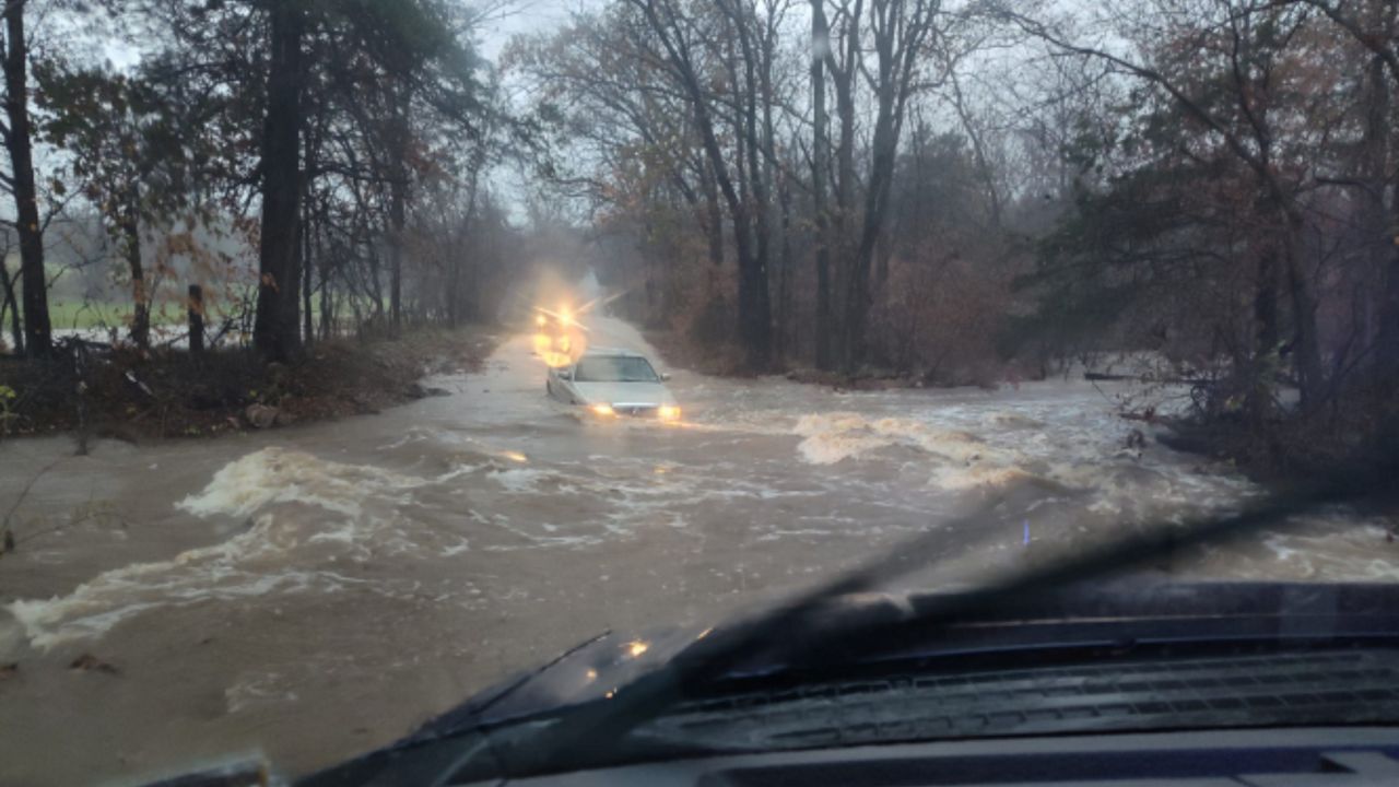
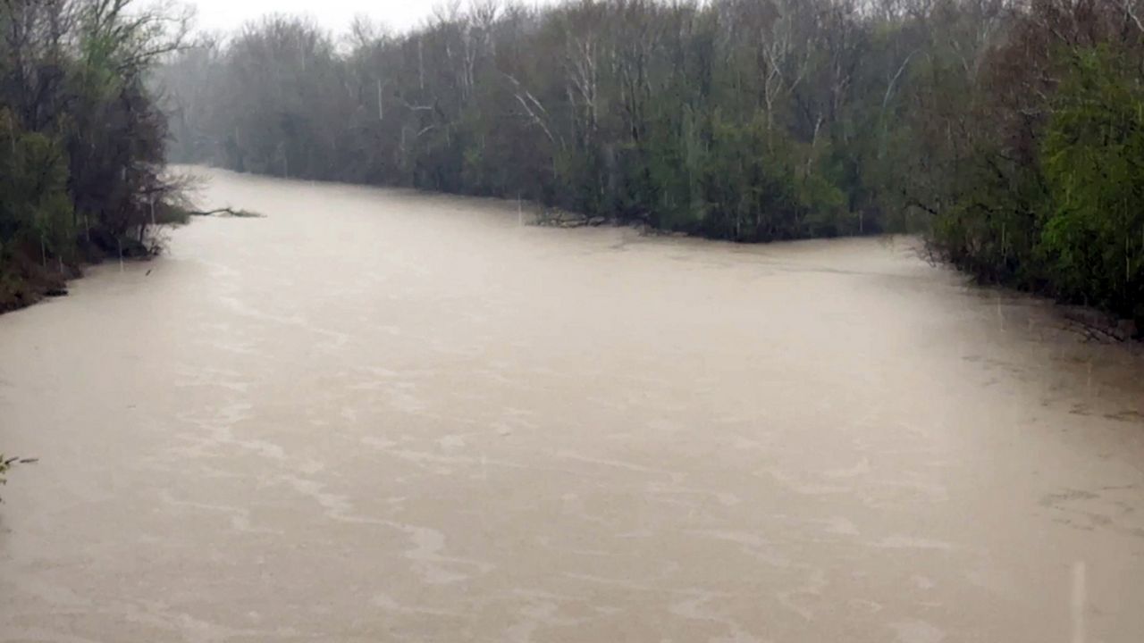
With heavy rain falling in such a short amount of time, flooding has occurred. Several roads in these counties were closed because of water covering them.
The levee near Iron Mountain Lake in St. Francois County was at risk of failing Monday afternoon, according to emergency officials. While not mandatory, officials urged its nearly 800 residents to evacuate to “allow our first responders to focus on cleanup efforts and ensure everyone’s safety.”
With the cold front not expected to move through the area until Tuesday morning, several more rounds of heavy rain and thunderstorms are expected Monday evening and overnight into Tuesday morning. Adding several inches to an already soaked region.


