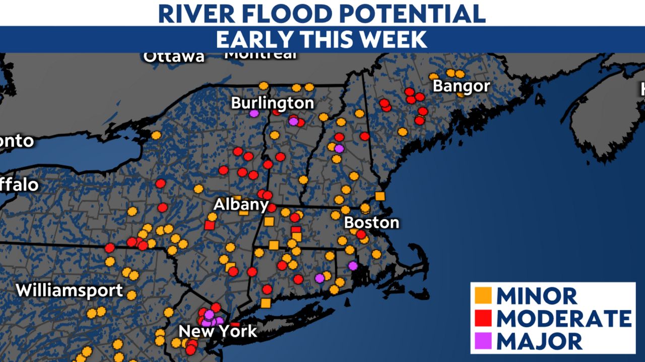
Another coastal storm pushed up the East Coast to start the week, bringing heavy rain and powerful winds to the Northeast. Most impacts continue until Monday night, mainly in New England. However, many rivers will be high for a couple of days.
This complex storm system will bring multiple hazards to the region. Along with heavy rainfall and the potential for flooding, powerful winds are also a concern, especially east of I-95. Coastal flooding is also expected. Numerous alerts are in effect through Monday night.
Soaking rain in New York tapered off Monday afternoon, but New England faces additional rain through Monday evening.
The highest amounts fell from eastern New York into New England, where rainfall was mostly in the range of 1 to 3 inches. However, some places picked up more than that. Flash flooding will remain possible until a little while after the rain ends. Do not drive through flooded roads!
The runoff will make some rivers run high for a few days, with some not receding back below flood stage until midweek. Below are the forecast river crest levels as of Monday afternoon.

Wind Advisories and High Wind Warnings run through this evening for parts of New England, although they have been trimmed away in New York and most of Massachusetts.
Those in the High Wind Warning areas can expect peak gusts up to about 60 mph. Wind Advisory areas should see top gusts around 50 mph.

These winds will down tree limbs, and saturated ground could fell entire trees in some places, causing power outages. As of mid-afternoon Monday, PowerOutage.us reported about 750,000 customers without power in the Northeast, including well over 300,000 just in Maine.
The Associated Press reports falling trees killed one man in Massachusetts and another in Maine.
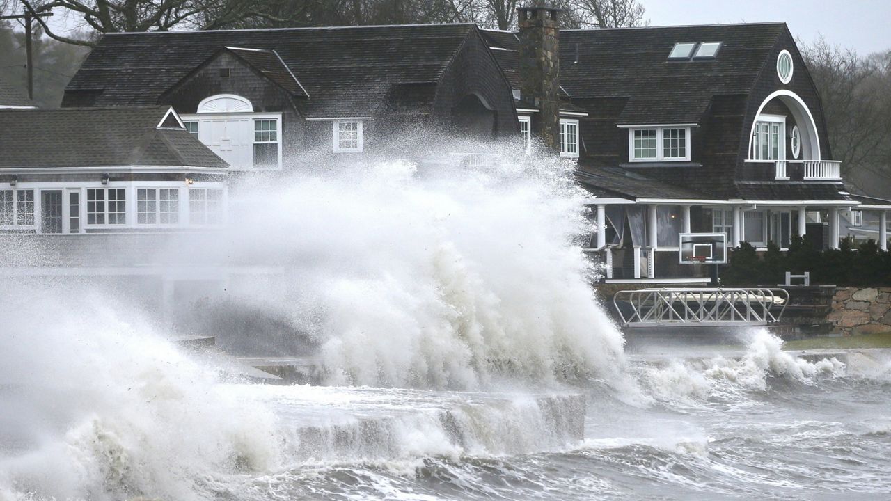
Parts of the region will see minor to moderate coastal flooding during times of high tide.
Coastal flood alerts run from NYC and Long Island up through Maine until Monday evening. Vulnerable areas may get a couple feet of inundation, enough to flood shoreline roads, parking lots and structures.
Storm-force winds over the Atlantic will also cause high surf and large breaking waves, which could lead to beach erosion.
This system has brought in mild air, so it will be a rain-maker for most of the region. However, colder air wrapping in on the back end will be enough to cause snow accumulations in western New York. Two to four inches is expected from Rochester to Buffalo, with higher amounts in the ridges of far southwestern New York.
Elsewhere, amounts will be low.
Sign up for weather notifications to receive the latest weather updates, and keep up with this article for the latest details on this event.
Our team of meteorologists dives deep into the science of weather and breaks down timely weather data and information. To view more weather and climate stories, check out our weather blogs section.


